Location: Corner of 190th Rd. and Poole Rd. northeast of Kearney. From east edge of Kearney (near Airport Rd.) 2.5 miles east on Highway 30 and 9 miles north on Poole Rd. OR from Highway 40 and Highway 10 intersection (Glenwood corner) just north of Kearney, 7.5 miles north on Highway 10 and 6 miles east on 190th Rd.
Legal Description: Northwest Quarter of Section 12, Township 10 North, Range 15 West of the 6th P.M., Buffalo County, Nebraska
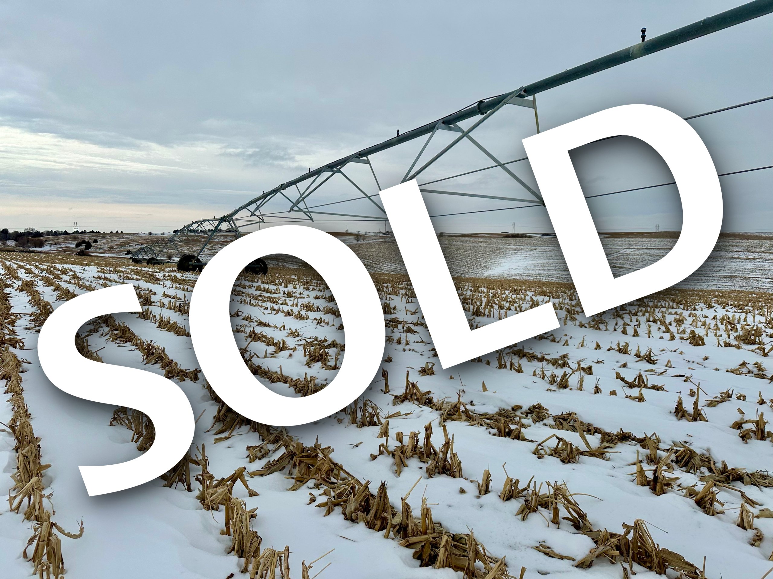
About the Land: 160 Acres, more or less, according to Buffalo County Assessor’s records. Consisting of a pivot irrigated farm including a Zimmatic 9 tower pivot system with natural gas to well site. (power unit is not included)
Natural Resources District: The land is located in the Central Platte NRD and has certified irrigation rights for 130.8 acres
Well Data: (per registration) G-129669, April 2004, 380ft. deep, 156ft. static water level, 250ft. pumping level, 8” pump column, 850 GPM
Soil Types: 40.5% Uly, Holdrege and Coly soils, 19.5% Coly silt loam, 9.9% Holdrege silt loam, 9.2% Uly and Holdrege silt loam, 8.1% Coly, Uly and Hobbs, 7.6% Hobbs silt loam, 3.5% Coly silt loam, 1.7% water. SRPG Rating of 49.4
2023 Taxes: $ 9,916.62
Price: $ 1,580,000
10% earnest money deposit upon signing the purchase agreement. The remainder due upon closing.