Location: From Westerville, 1 mile east on Nebraska Highway 70. Farm is on the south side of the highway.
Legal Description: Part of Lot 1 and the East Half of the Northeast Quarter of Section 3 and Part of Lots 3 & 4 and the Northwest Quarter of Section 2, all in Township 16 North, Range 18 West of the 6th P.M., Custer County, Nebraska
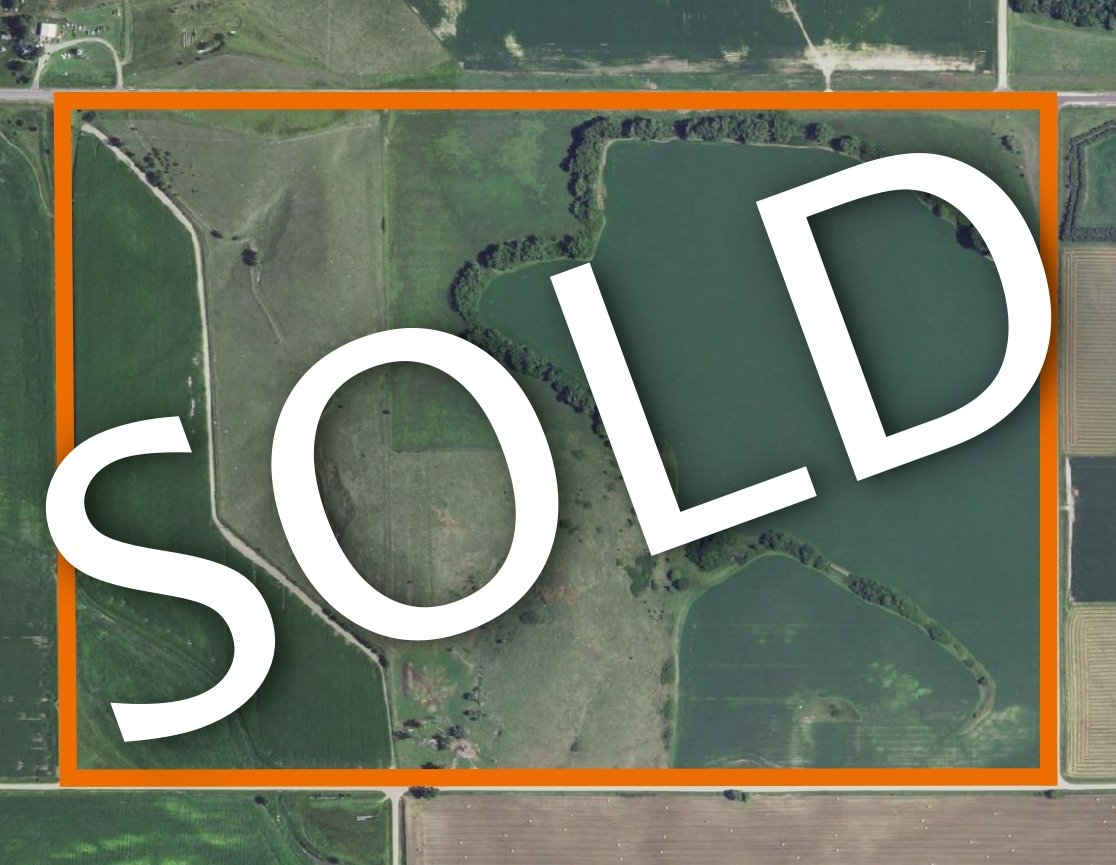
About the Land: 246.73 Acres, more or less, according to Custer County Assessor’s records. The land consists of 34 acres of irrigated cropland, approx. 91.93 acres of non-irrigated cropland currently in alfalfa, approx. 101.24 acres of grassland and 19.56 acres of treed area/roads. The property is bordered on all four sides by roads, with good all weather gravel roads on three sides and Nebraska Highway 70 on the north side. The land provides good recreational opportunities with natural habitat and Clear Creek close by.
Natural Resources District: This land is located in the Lower Loup NRD and has 34 certified irrigation rights.
Soil Types: Soils of the cropland consist of Cozad and Hord silt loams rated as Class 2. Soils of the grassland and portions of the non-irrigated cropland consist of Uly silt loam, Coly silt loam, Uly-Coly silt loams and Holdrege silty clay loam rated as Class 3, 4 & 6.
Price: $ 875,000