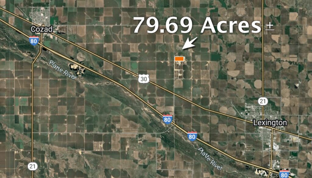
Location:
From the west edge of Lexington, 4 miles west on Highway 30 and 2 miles north on Rd. 428. From the Darr I-80 interchange, 3.5 miles north
Legal Description:
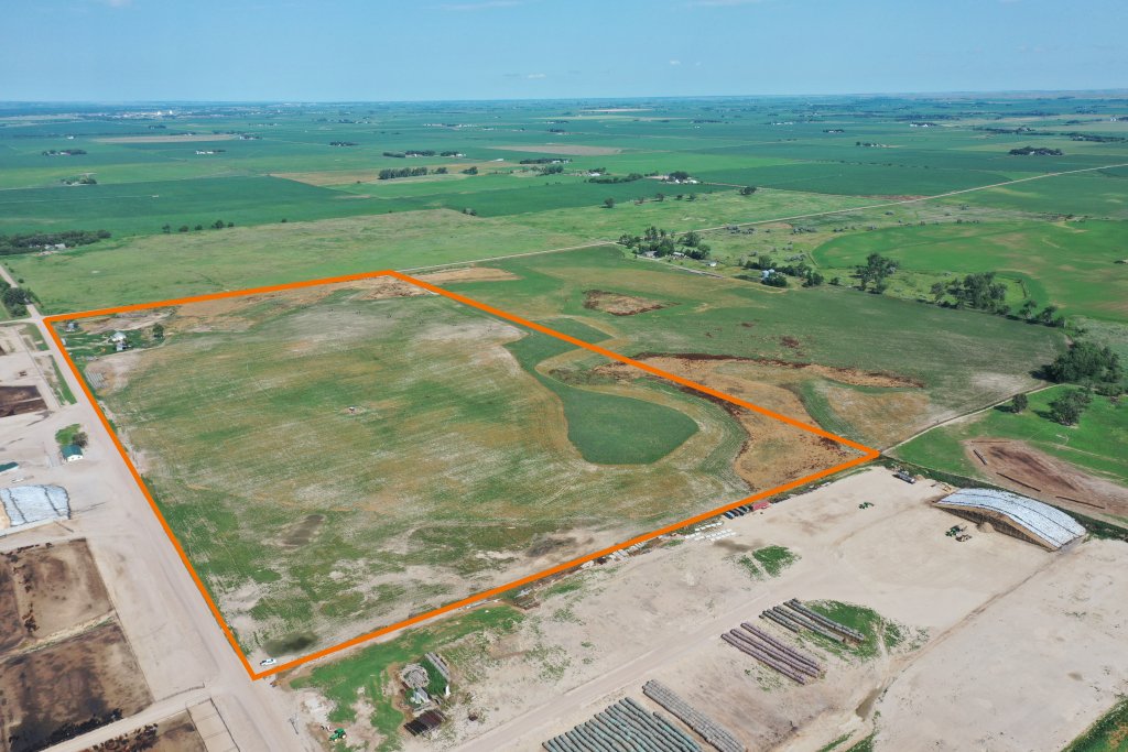
South Half of the Southwest Quarter of Section 16, Township 10 North, Range 22 West of the 6th P.M., Dawson County, Nebraska
About the Land:
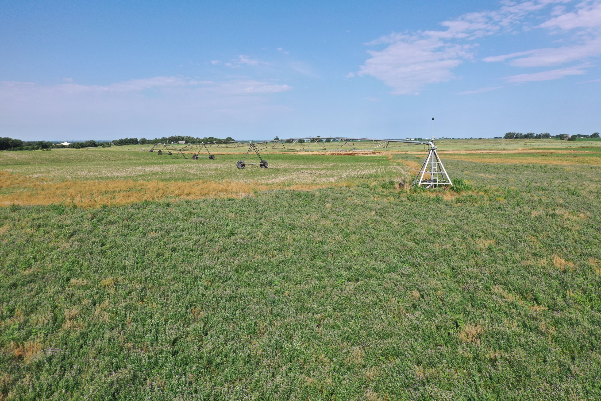
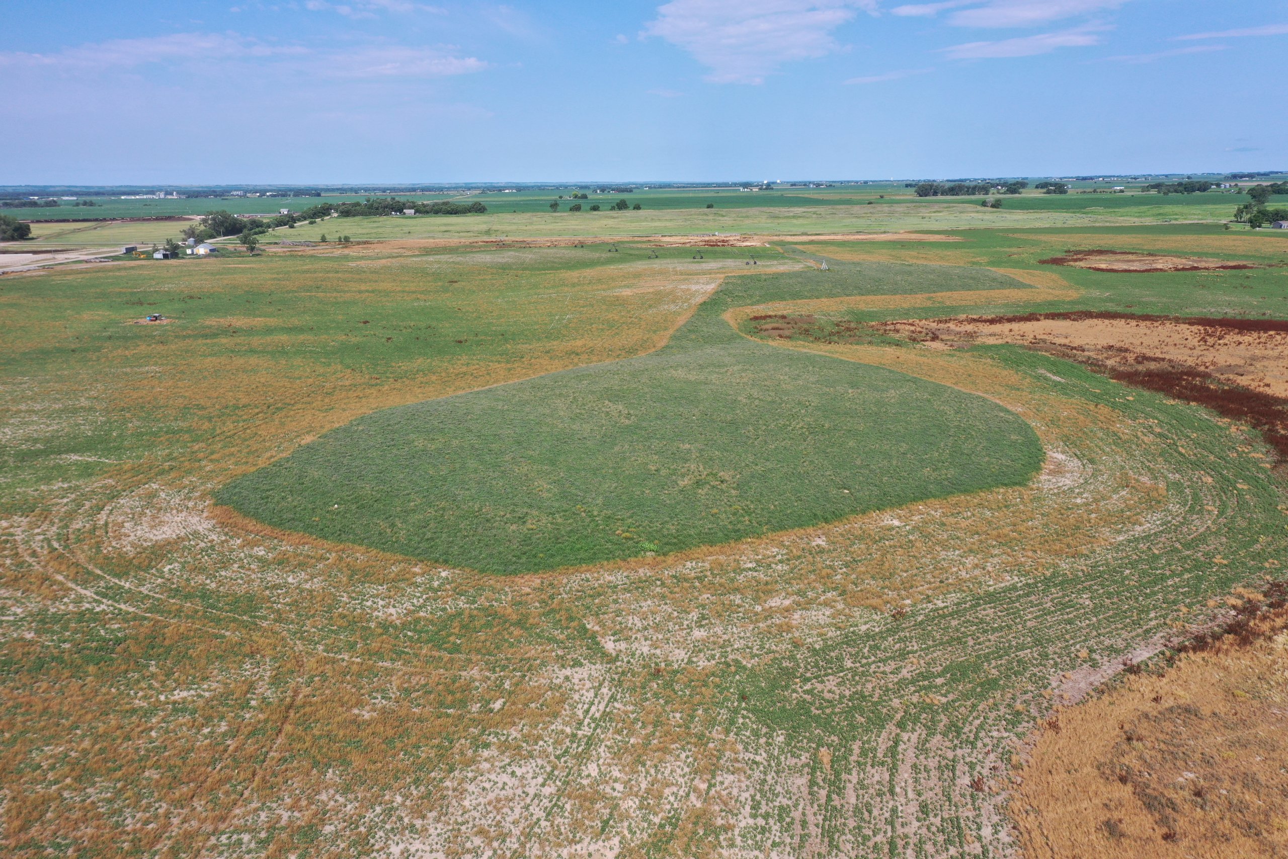
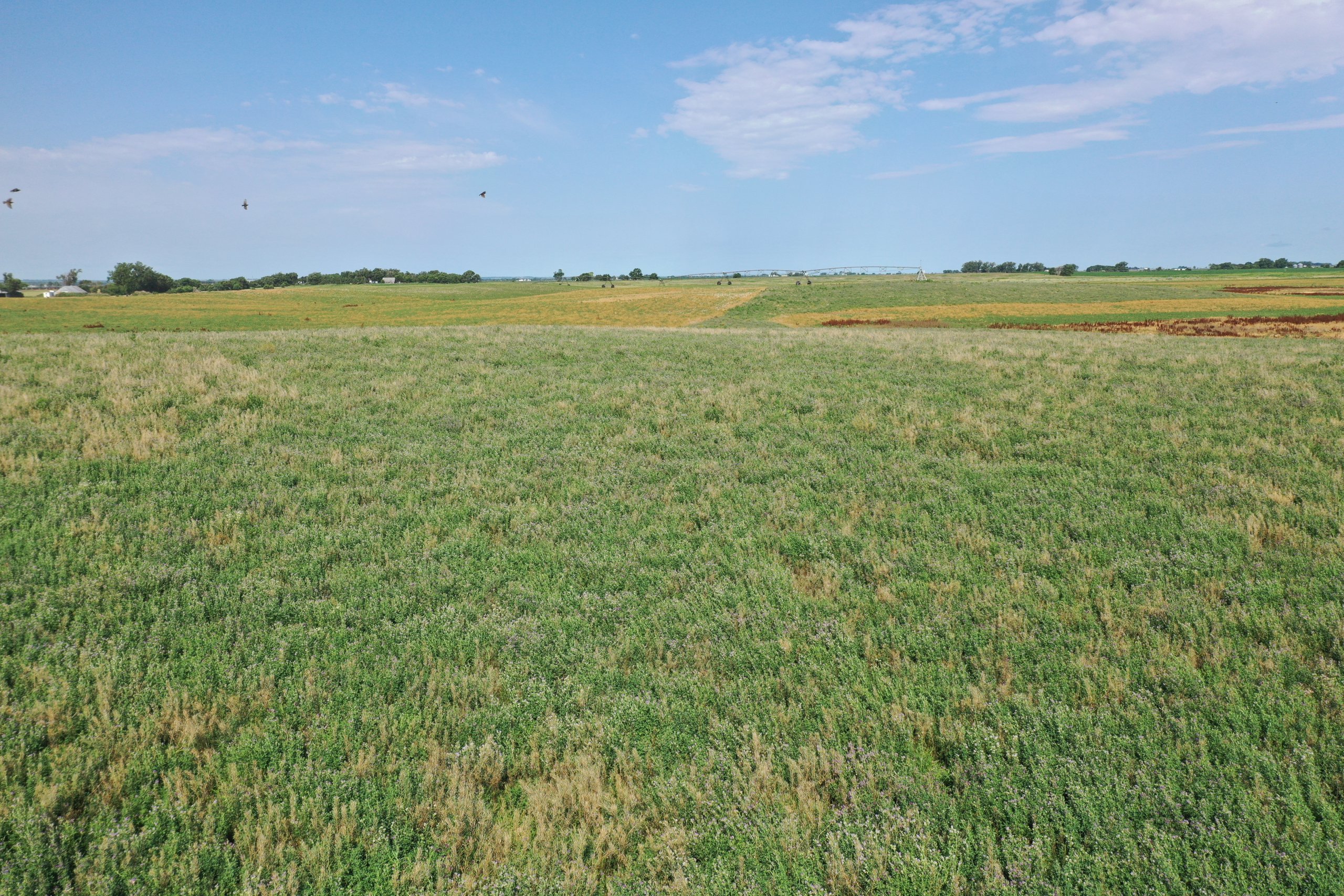
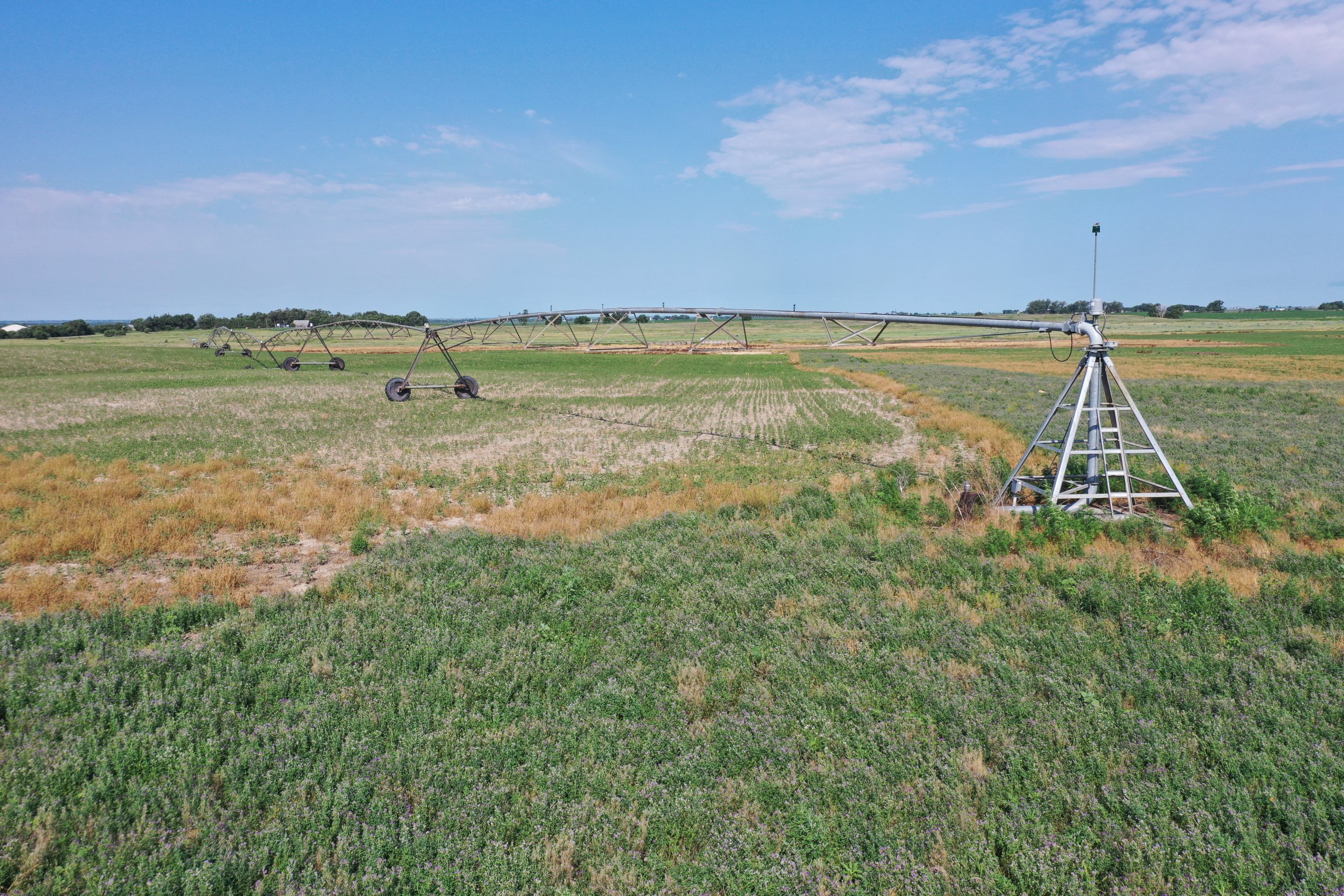
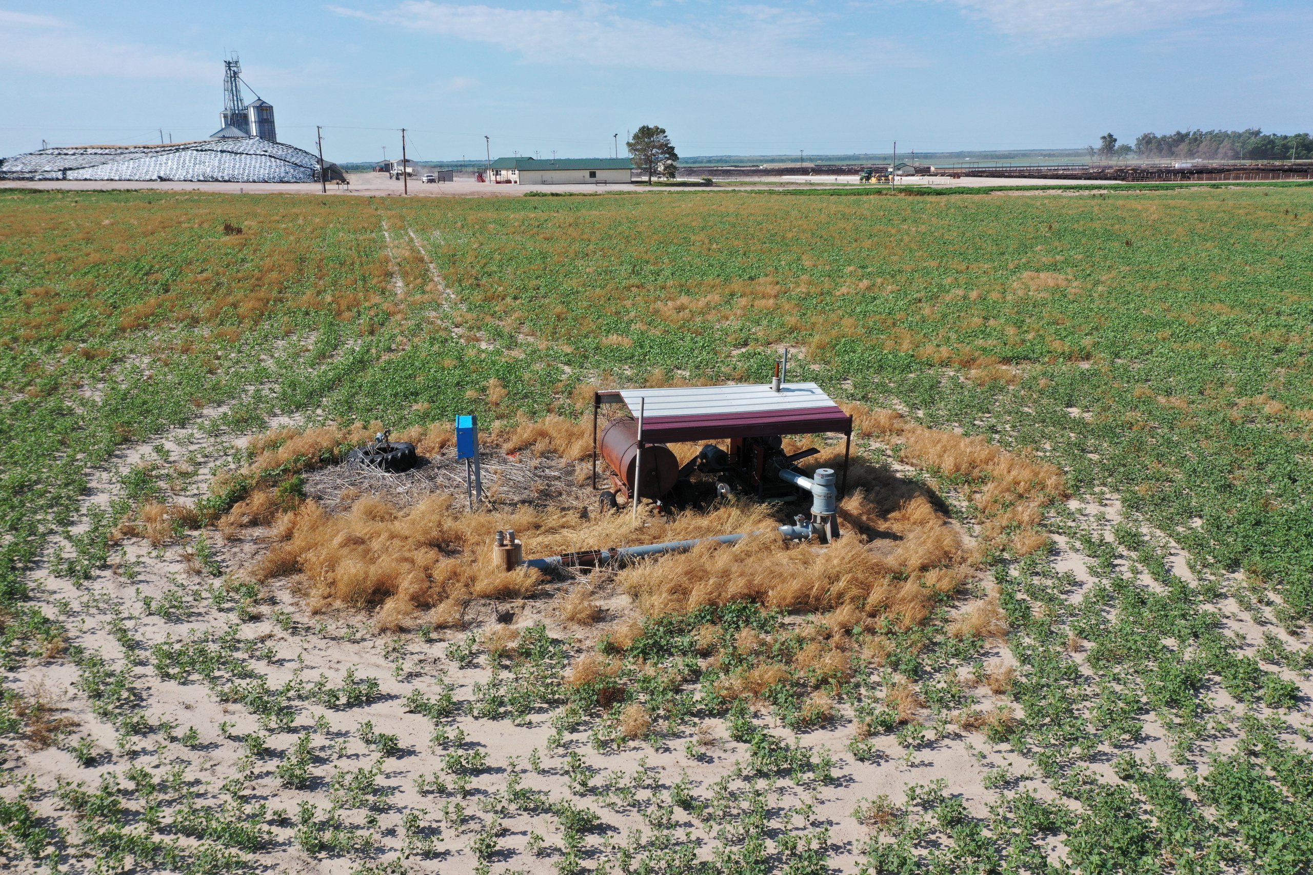
79.69 Acres, more or less, according to Dawson County Assessor’s records. Includes a Valley 8 tower pivot sprinkler and 8” irrigation well with a CaseIH diesel power unit. It should be noted: the Dawson County Canal is close to the farm and they have indicated they currently have water rights available.
Natural Resources District:
This land is located in the Central Platte NRD and has certified irrigation rights for 43.46 acres.
Adjoining Property Also Available:
The adjacent property to the north (N1/2 of SW1/4 of 16-10-22) is also for sale by Marshall Land Brokers & Auctioneers. Buyers interested in additional acreage or complete control of the cropland are encouraged to inquire for details.
2024 Taxes:
$ 2,676.98
Price:
$ 548,015
10% earnest money deposit upon signing the purchase agreement. The remainder due upon closing.
