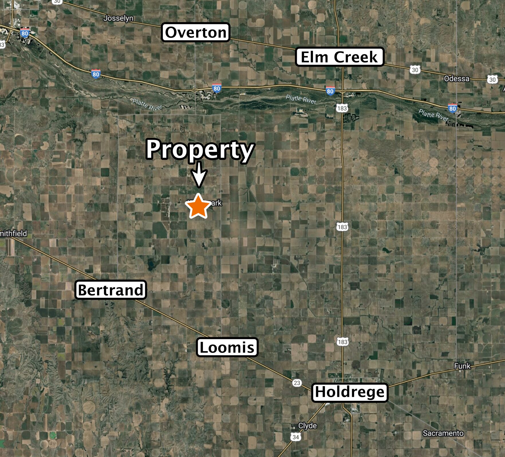
LOCATION:
From Loomis, 8 miles north on G Rd. (blacktop) and 1 mile west on 743 Rd.
LEGAL DESCRIPTION:
Part of the Northeast Quarter of Section 12, Township 7 North, Range 20 West of the 6th P.M., Phelps County, Nebraska
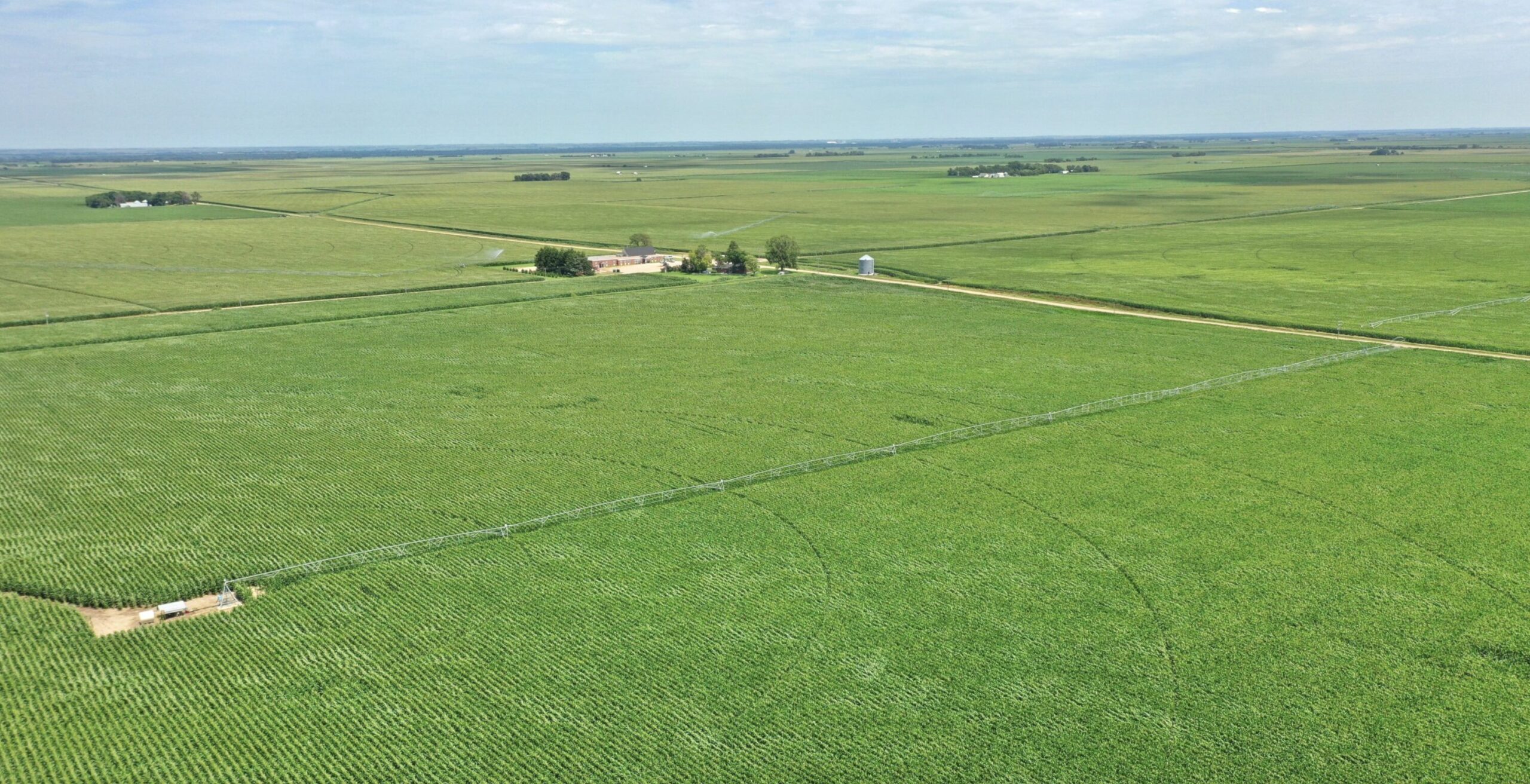
ABOUT THE LAND:
145.42 Acres, more or less, according to Phelps County Assessor’s records. Highly productive irrigated cropland including a Valley 7 tower pivot sprinkler system, 2 irrigation wells, center well powered by Cat 6 cylinder diesel with 1,000 gal. tank, south well with John Deere 4 cylinder diesel and 500 gal. tank plus 8″ alum. pipe for irrigating the southeast corner.
FARM SERVICE AGENCY:
Corn base – 94.09 acres, Soybeans base – 50.37 acres
NATURAL RESOURCES DISTRICT:
The land is located in the Tri-Basin NRD and has certified irrigation rights for 142.13 acres.
WELL DATA:
(per registration) Center Well – G-037135, Feb. 1996, 320ft. deep, 113ft. pumping level, 56ft. static water level, 8″ pump column, 800 GPM. South Well – G-005574, May 1957, 180ft. deep, 126ft. pumping level, 98ft. static water level, 9″ pump column, 1,000 GPM
SOIL TYPES:
98.7% Holdrege silt loam, 1.3% Filmore silt loam
2024 TAXES:
$ 6,789.44