Land Auction:
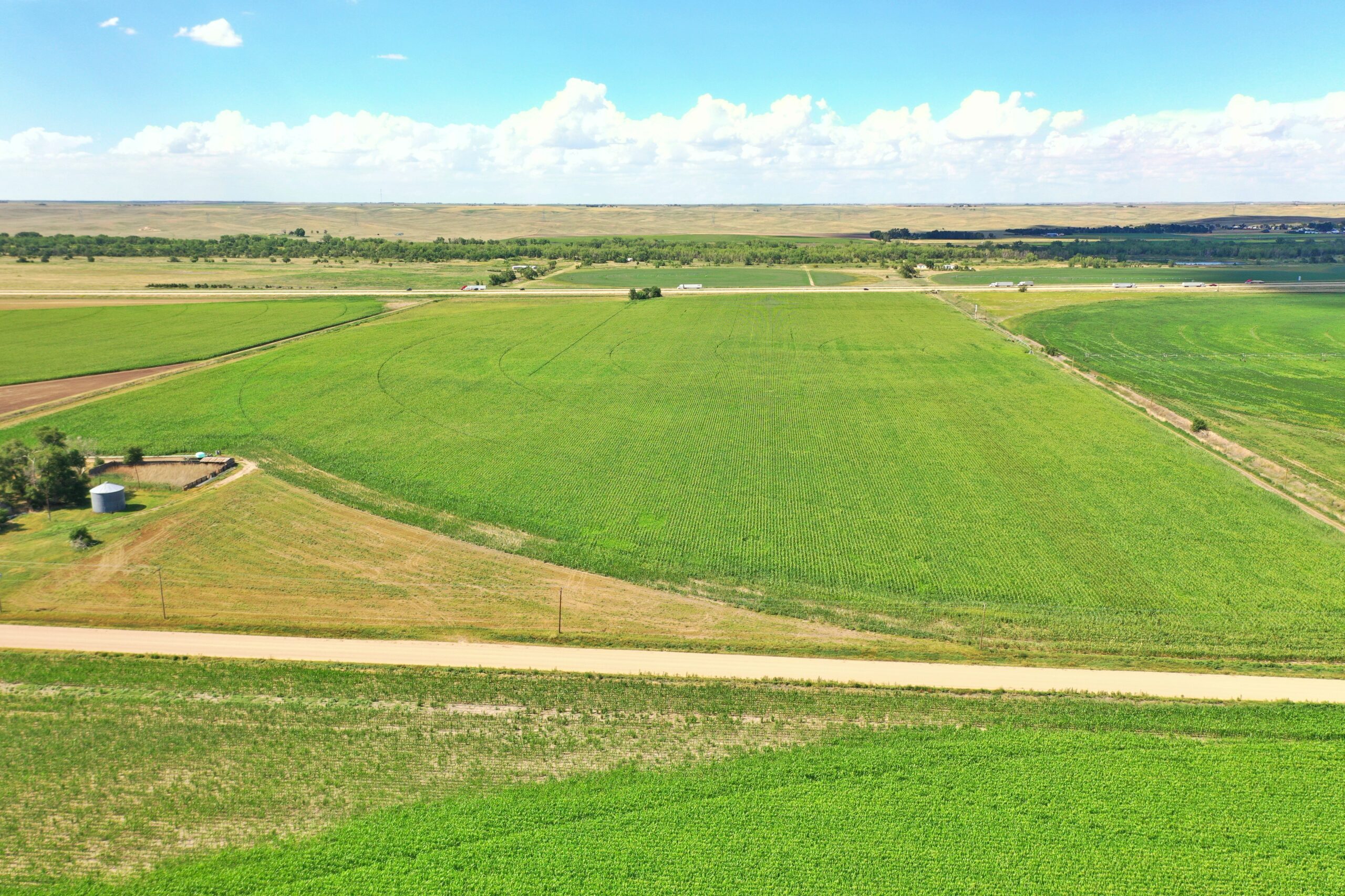
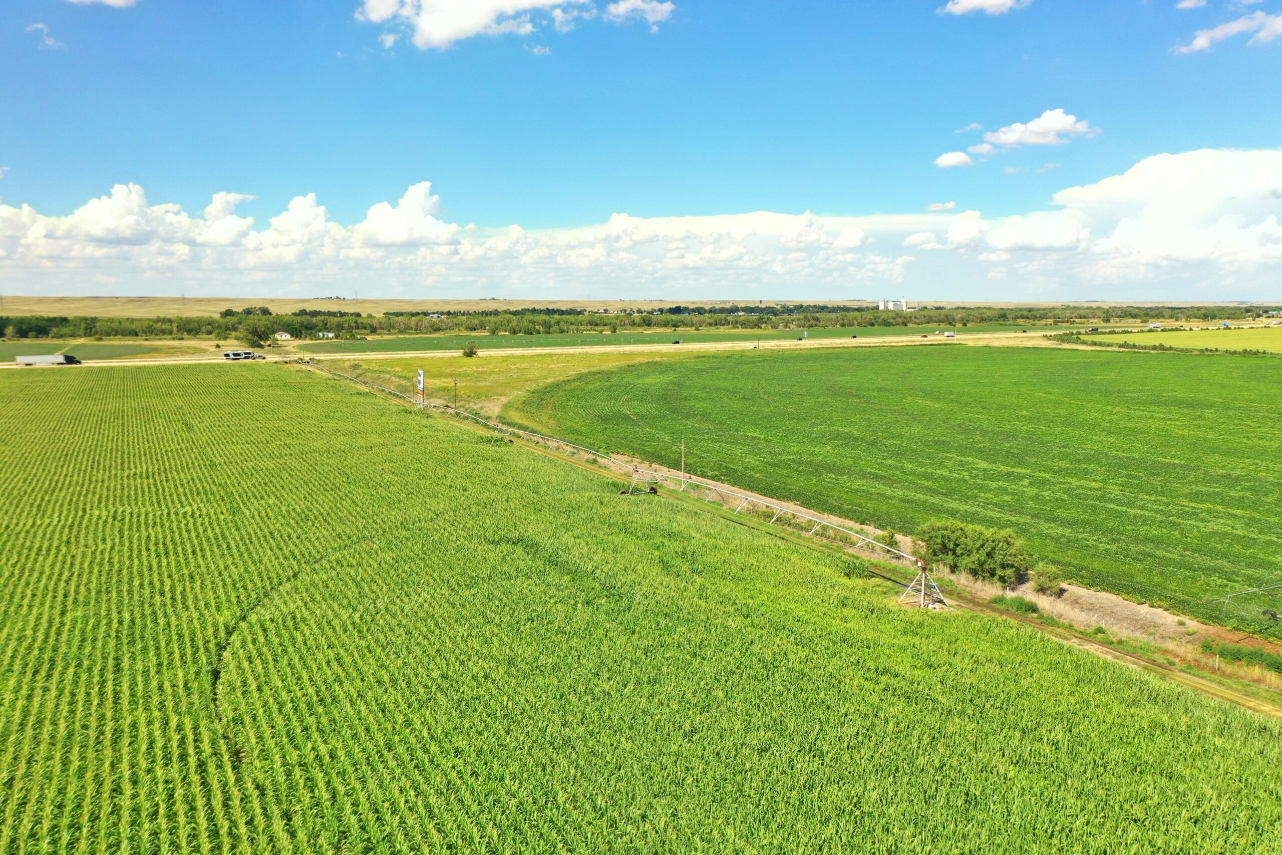
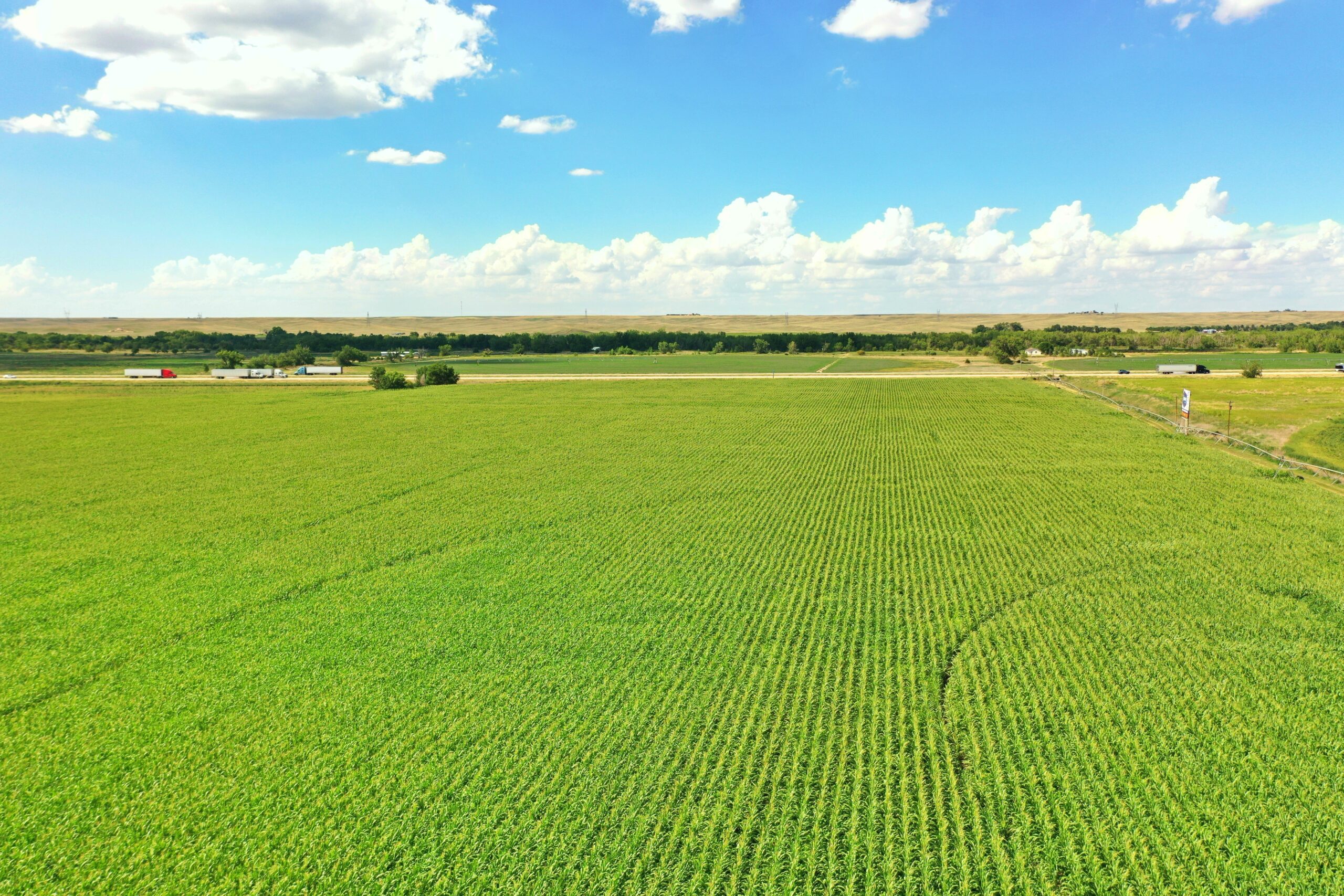
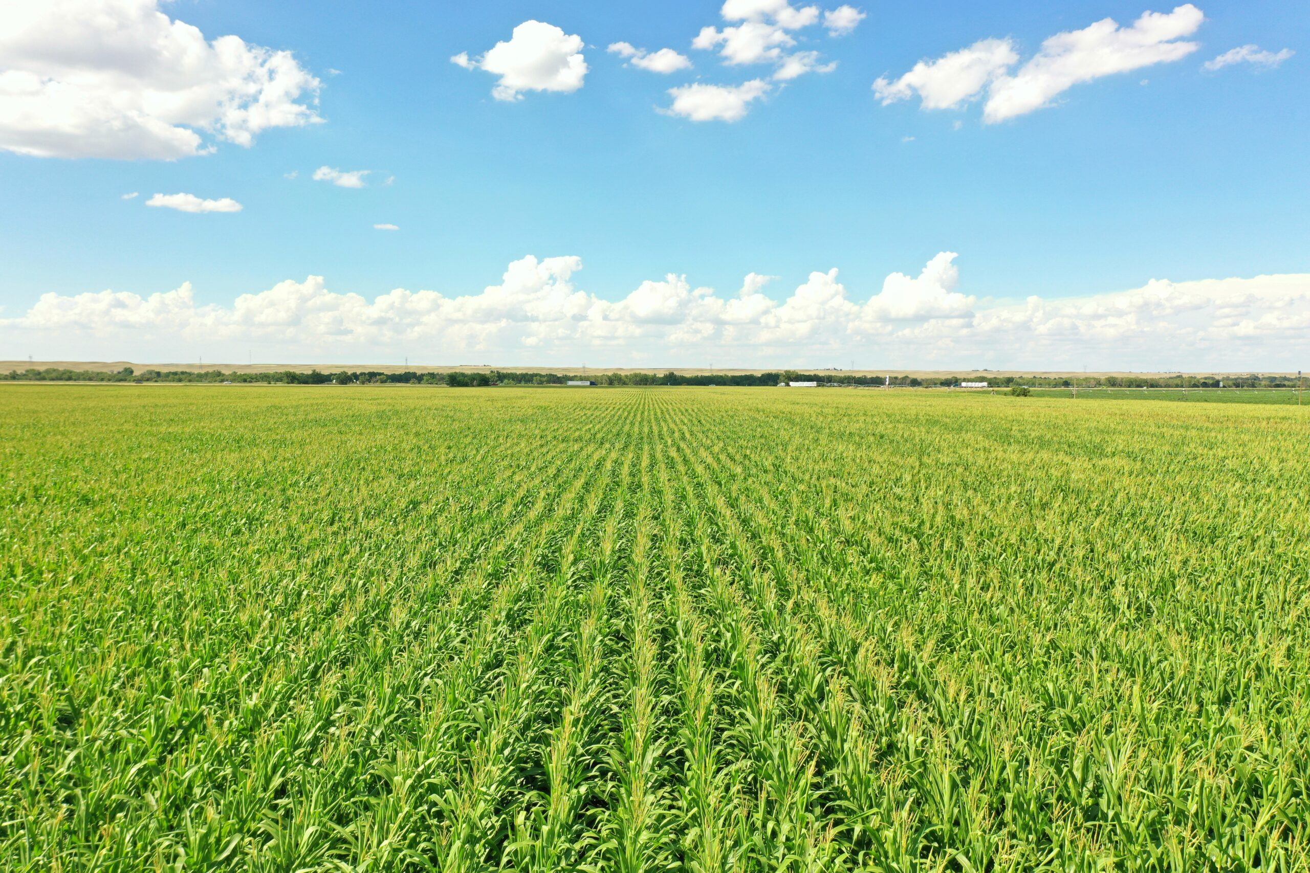
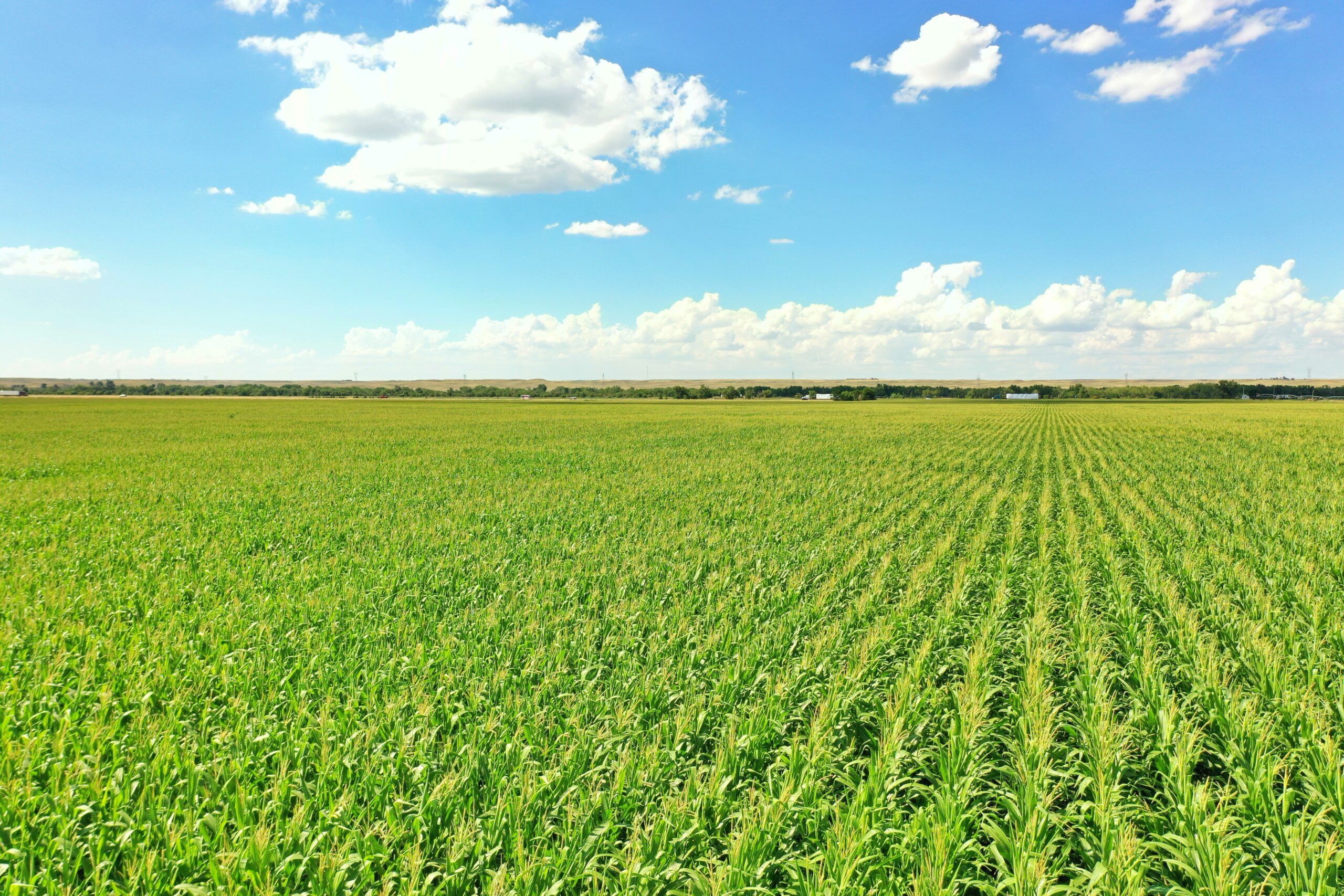
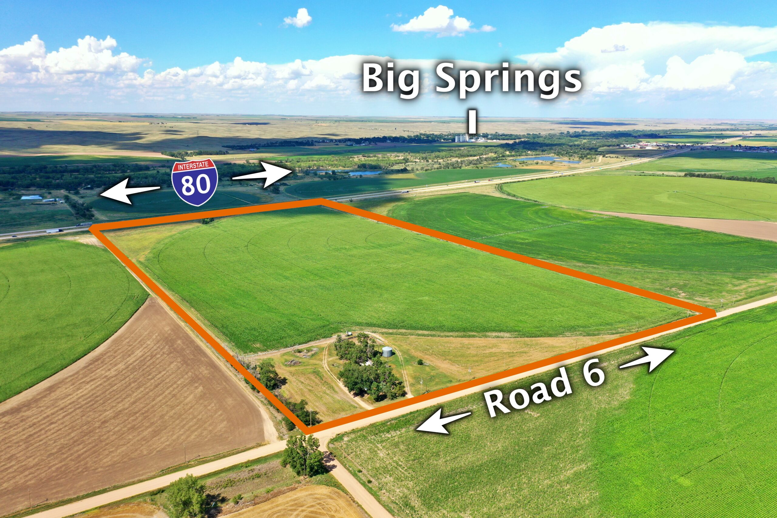
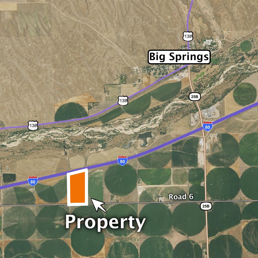
Selling 75.31 acres, more or less, in Deuel County, Nebraska. Featuring pivot irrigated cropland located southwest of Big Springs, Nebraska.
Online-Only Bidding:
This is an online auction. Bidding will be online via bid.marshallauction.com Bidding closes October 6th, 2026 starting at 10:00 AM CDT
Bidder Registration:
Bidders must register and be approved by the auction company prior to the auction closing date (we recommend 48hrs. prior to the auction close). Register by completing the bidder certification form (provided by the auction company) and submitting it to Luke Huddleston, Auction Manager at luke@marshallauction.com or at physical office: 2033 Central Ave., Kearney, NE. Office 308-234-6266, Cell 308-293-7258
75.31 Acres +/- Pivot Irrigated Cropland
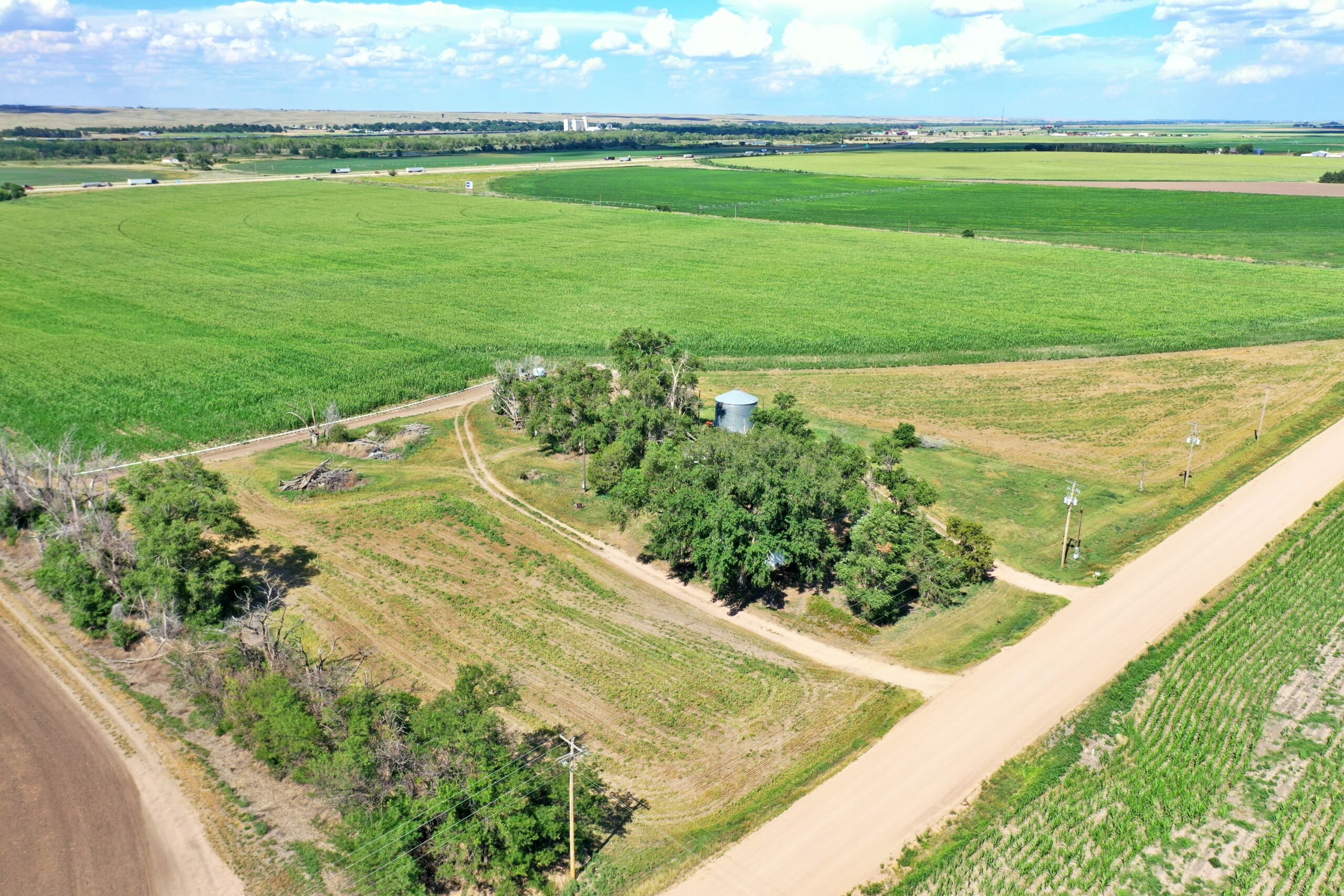
LOCATION: Southwest of Big Springs – from Big Springs I-80 Interchange (Exit 107), South 1 mile, then west 1 and 3/4 miles on Road 6.
LEGAL DESCRIPTION: Part of the West Half of the Southwest Quarter of Section 3, Township 12 North, Range 42 West of the 6th P.M., Deuel County, Nebraska
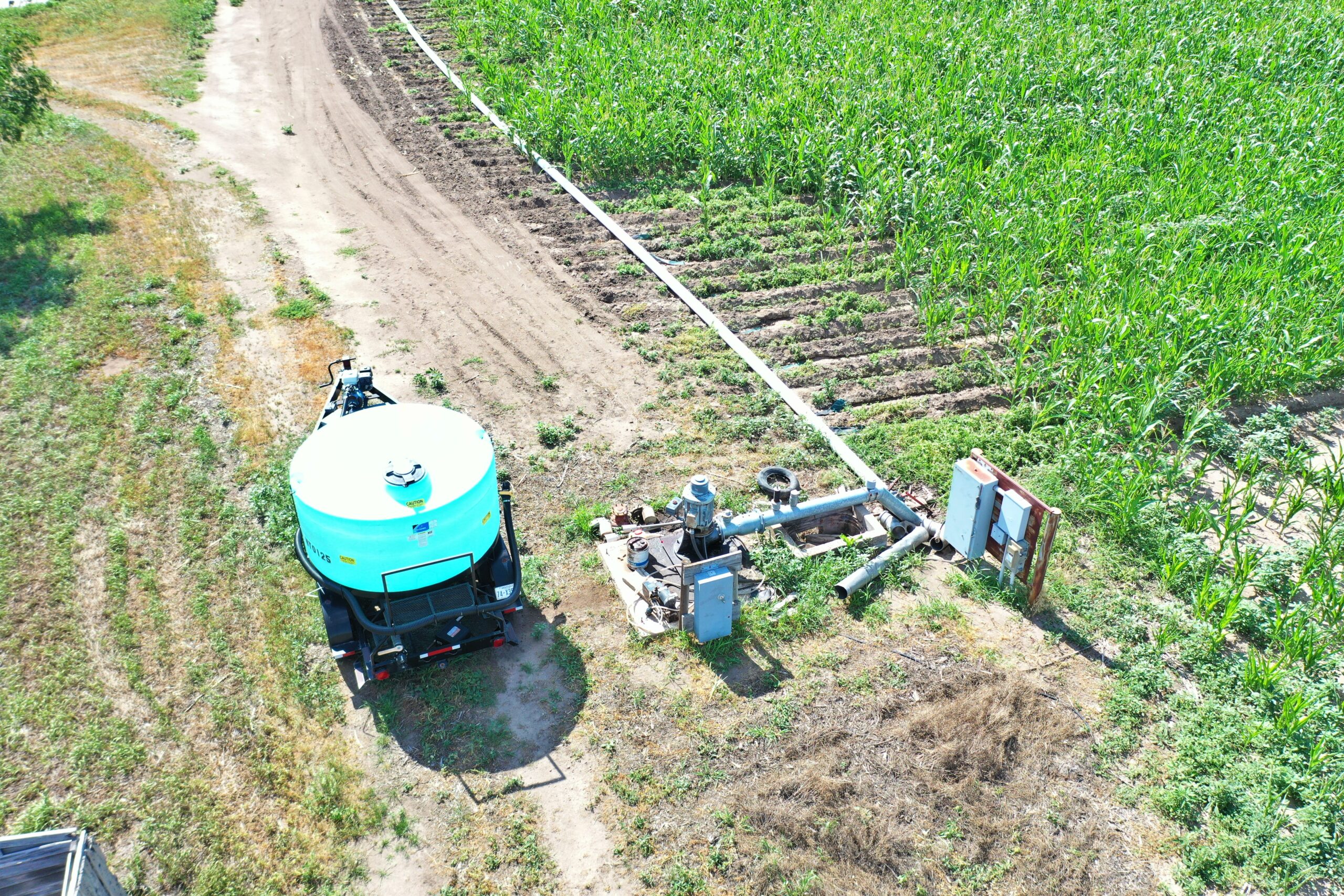
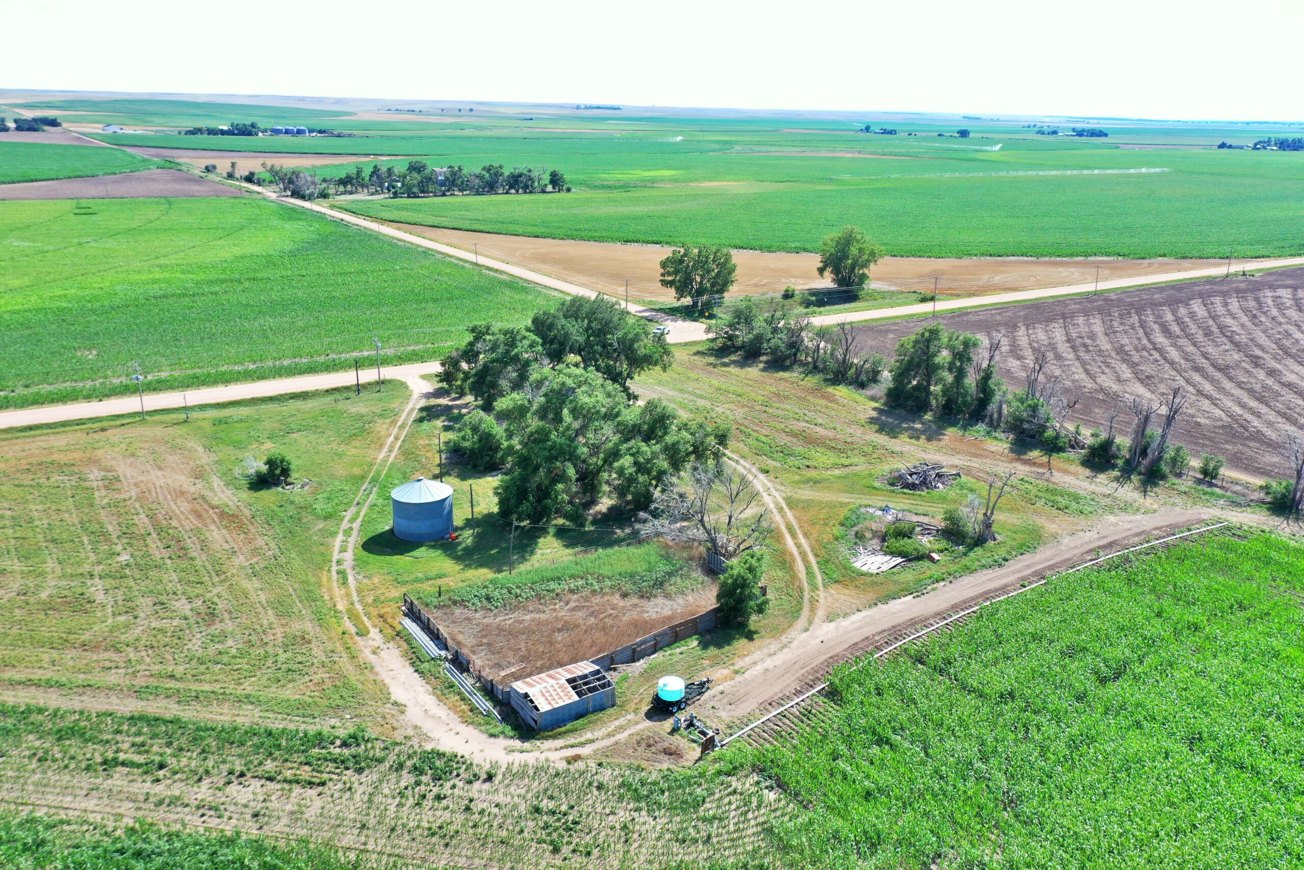
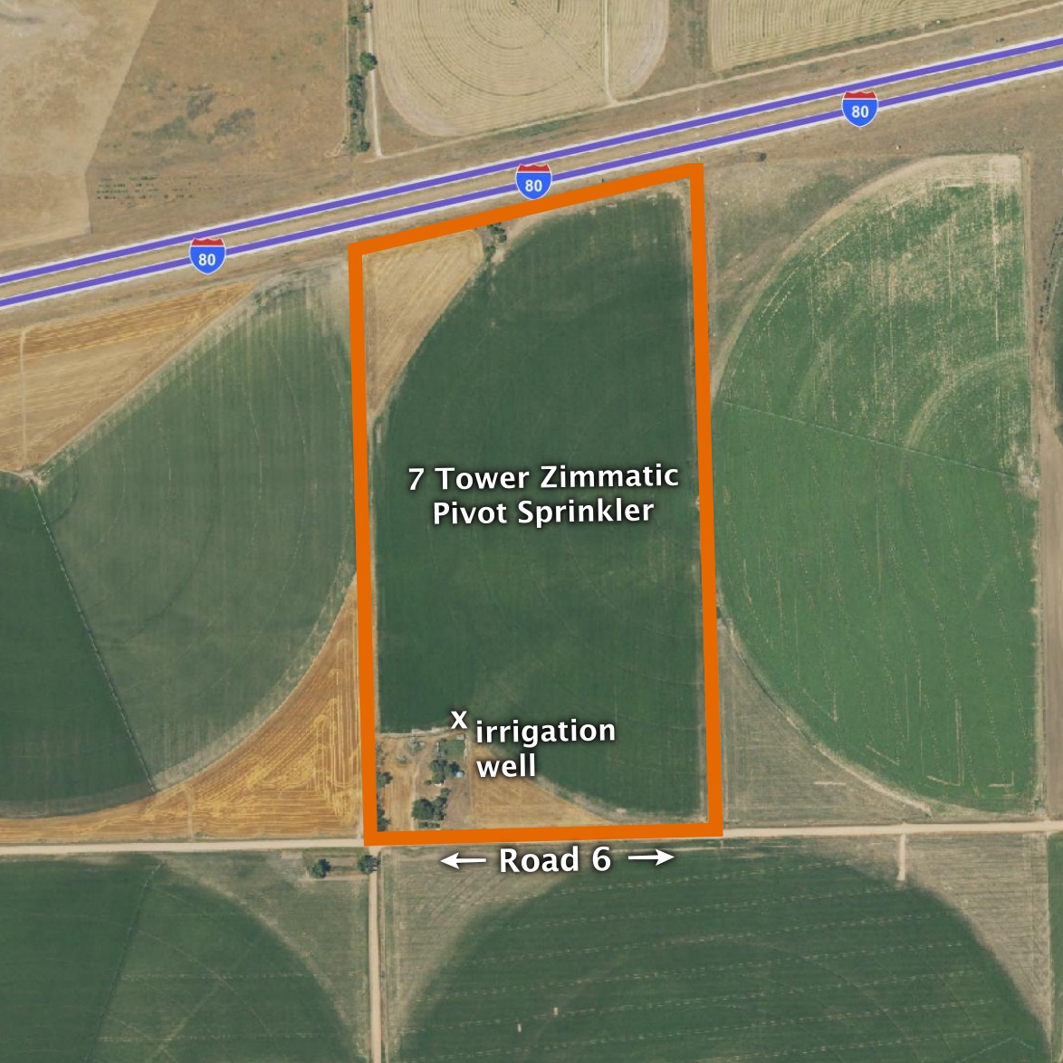
ABOUT THE LAND: 75.31 Acres, more or less, according to Deuel County Assessor’s records. Consisting of good-quality pivot irrigated cropland with a 7-tower Zimmatic pivot sprinkler system with upright sprays. Also includes a Western Land Roller pump and General Electric 25 HP motor. The remainder of the property includes an older building site, treed area, and hayland. There is some rental income from the I-80 advertising sign.
FARM SERVICE AGENCY: Total Cropland – 72 acres; Corn base – 66.03 acres, Wheat base – 5.87 acres
NATURAL RESOURCES DISTRICT: The land is located in the South Platte NRD and has certified irrigation rights for 72 acres. As of October 2025, 43.3 inches remained available for the 2026–2027 allocation period.
WELL DATA: (per registration) G-018882, September 1961, 50ft. deep, 11ft. water level, 25ft. pumping level, 8″ pump column, 1242 GPM
SOIL TYPES: 48.5% Lexsworth loam rated as Class 3, 21.2% Merrick sandy clay loam rated as Class 1, 19.6% Chappell-Alic-Broadwater complex rated as Class 2, the remainder Calamus sand rated as Class 4
2025 TAXES: $ 1,982.30