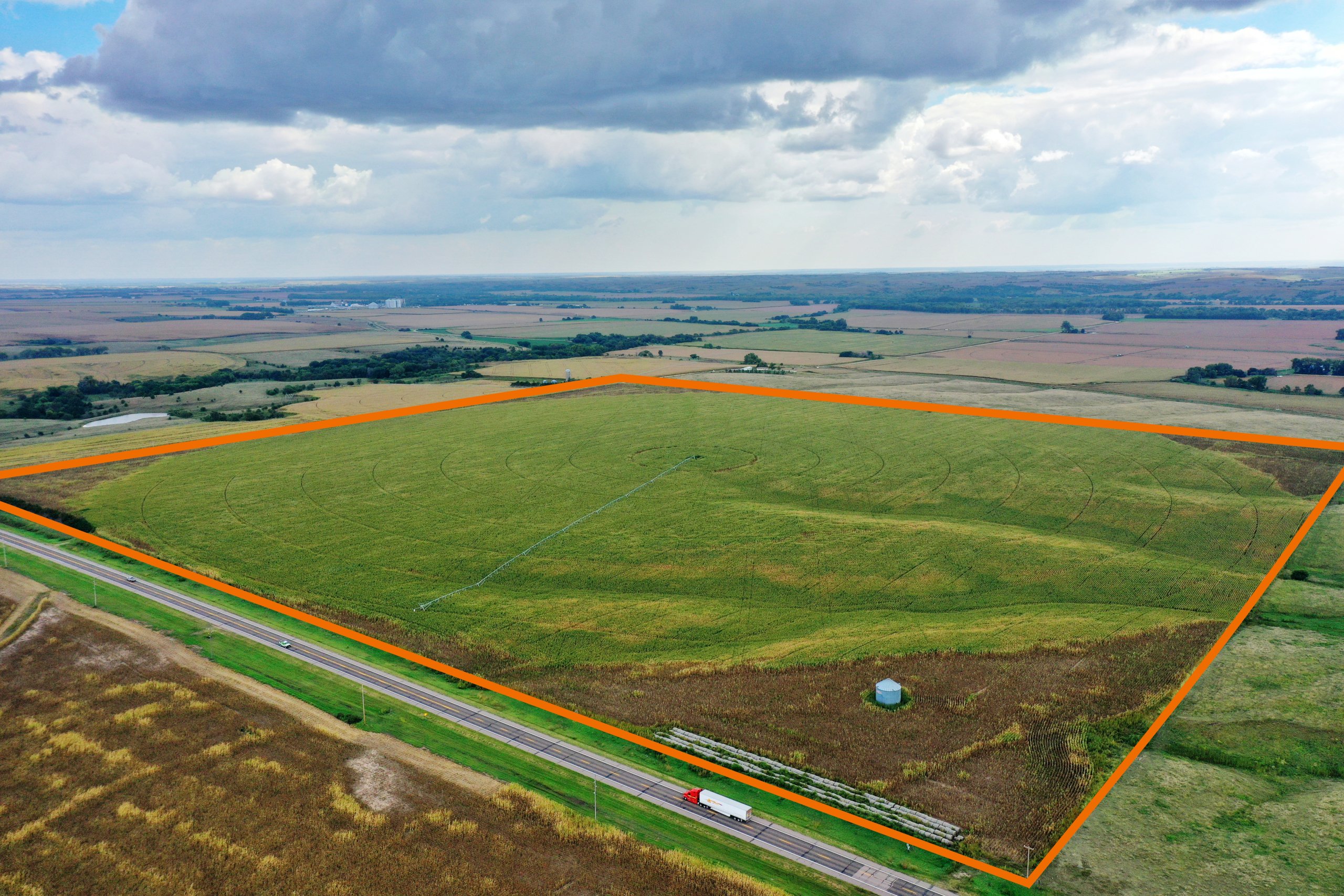
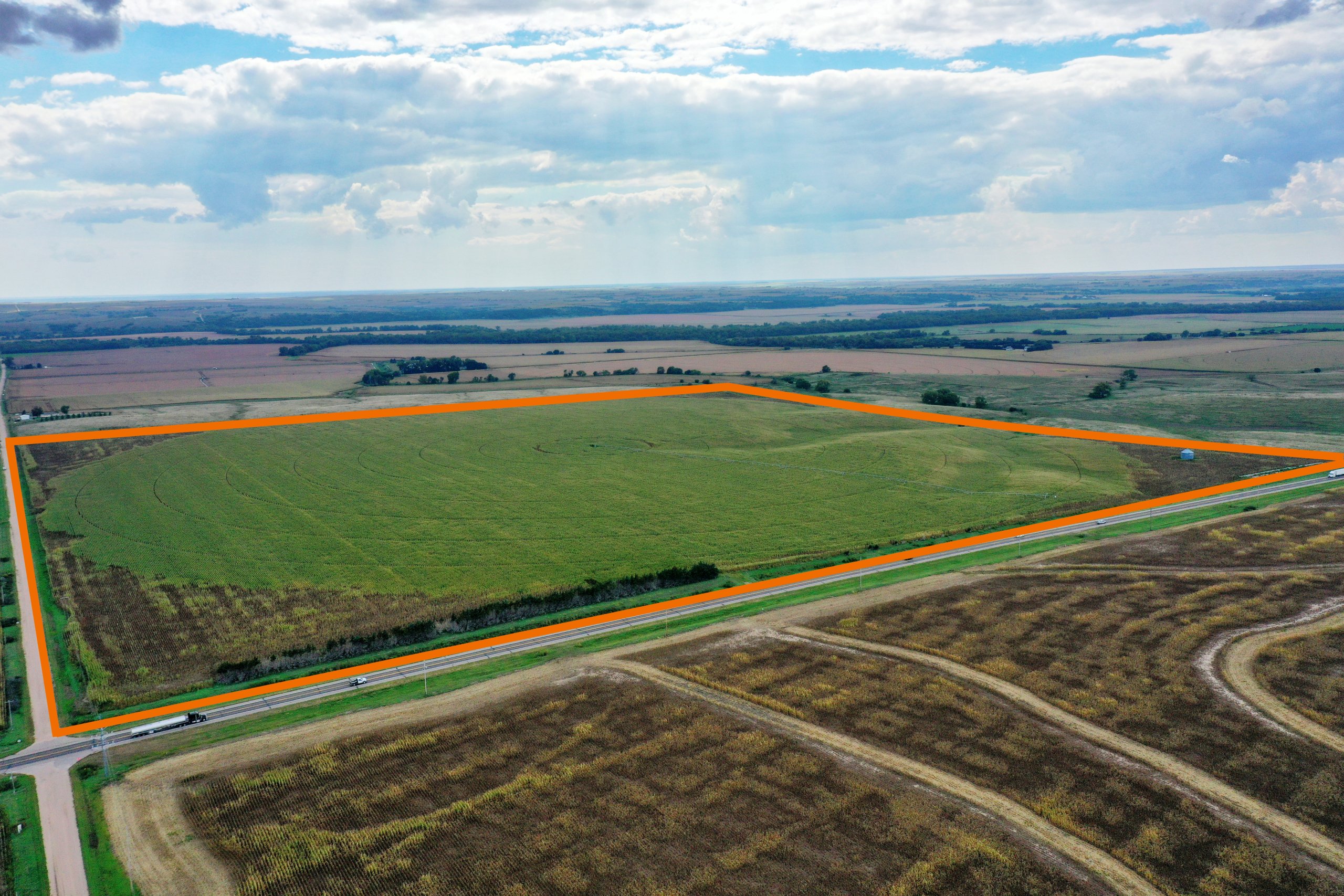
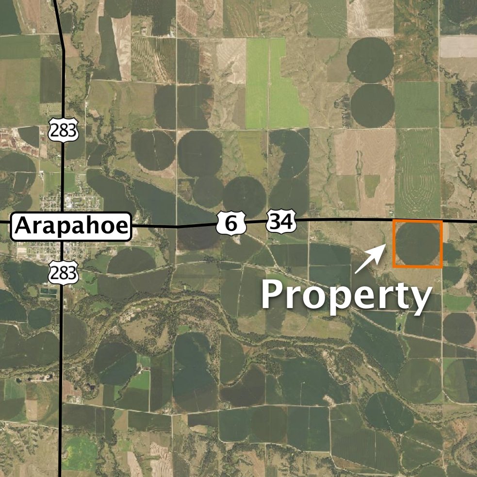
Location:
East of Arapahoe, Nebraska. From the east edge of Arapahoe, 3 miles east on Highway 6 & 34.
Legal Description:
Part of the Northeast Quarter of Section 20, Township 4 North, Range 22 West of the 6th P.M., Furnas County, Nebraska
About the Land:
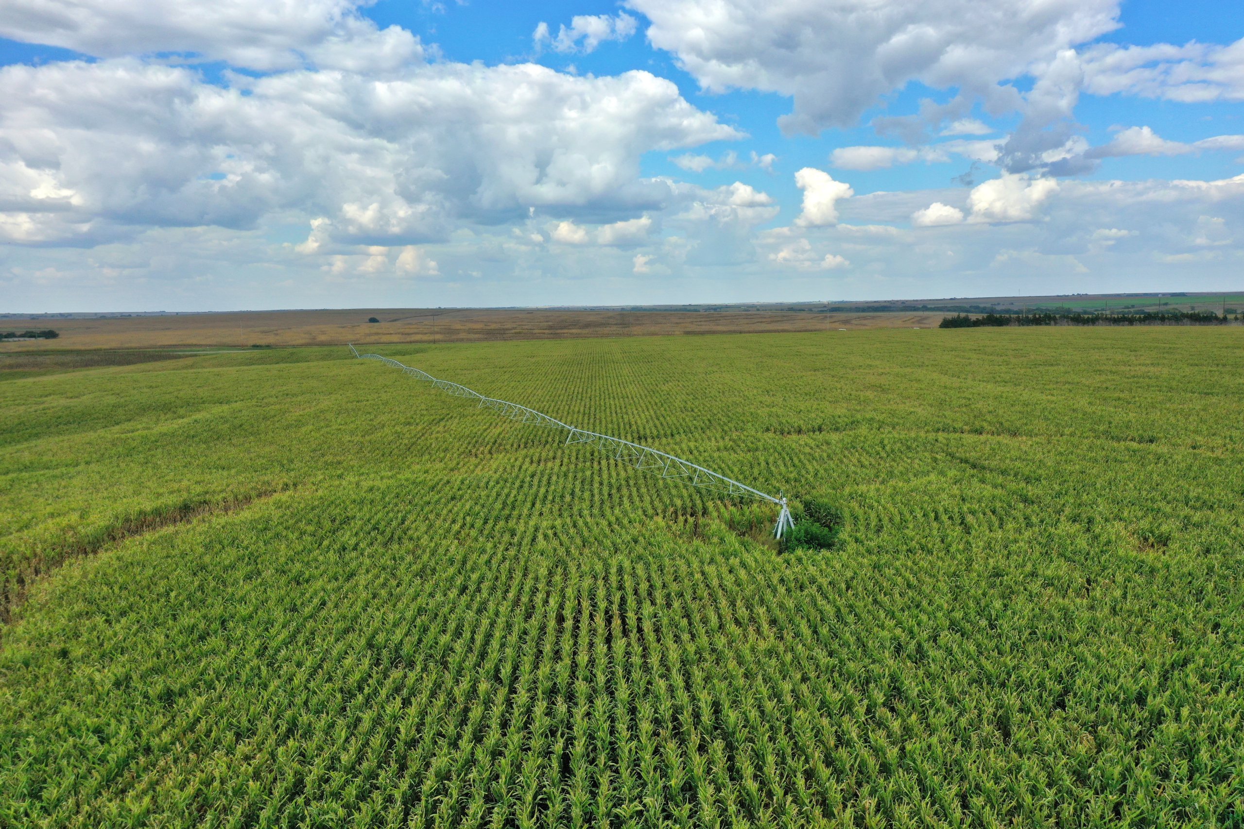
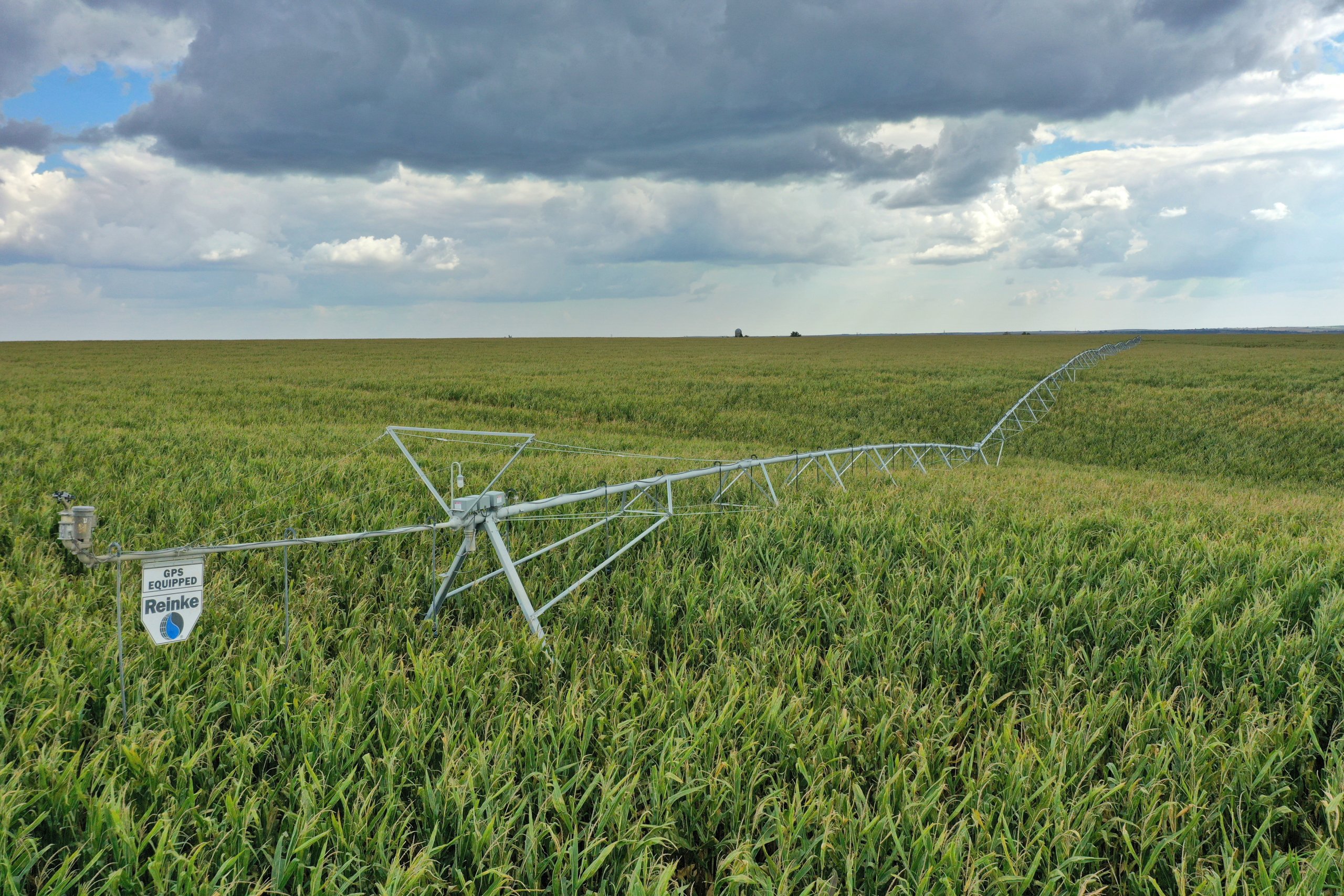
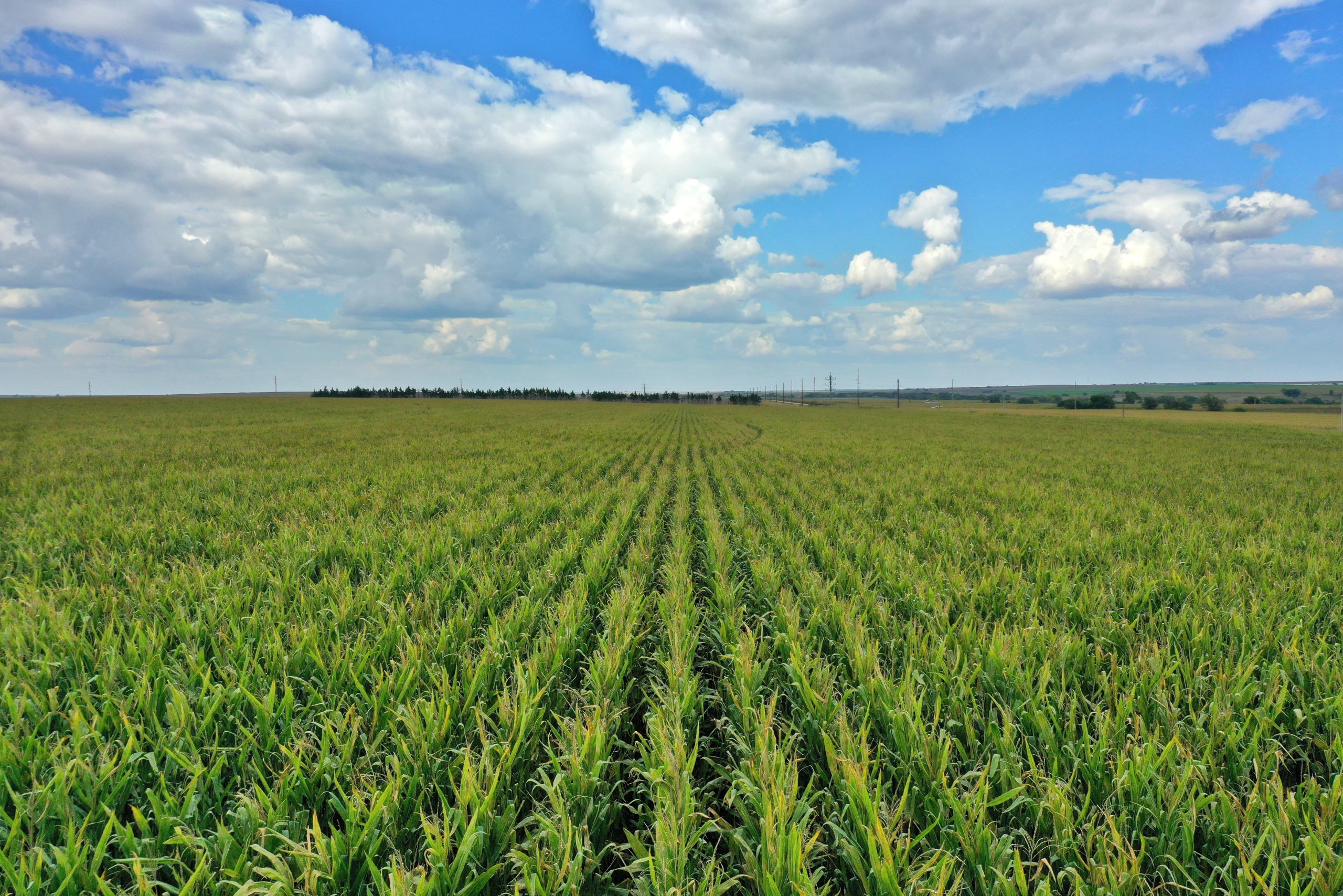
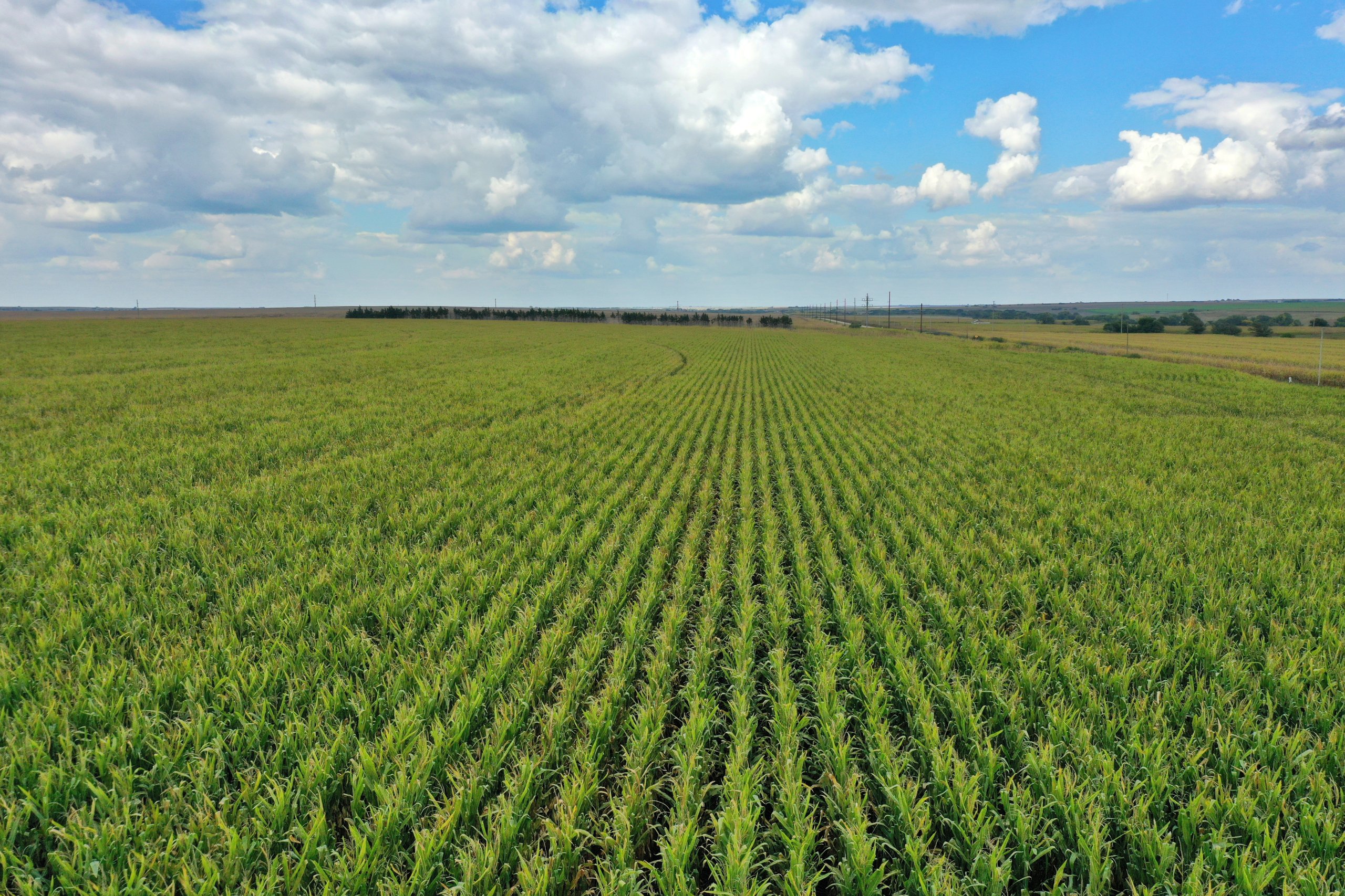
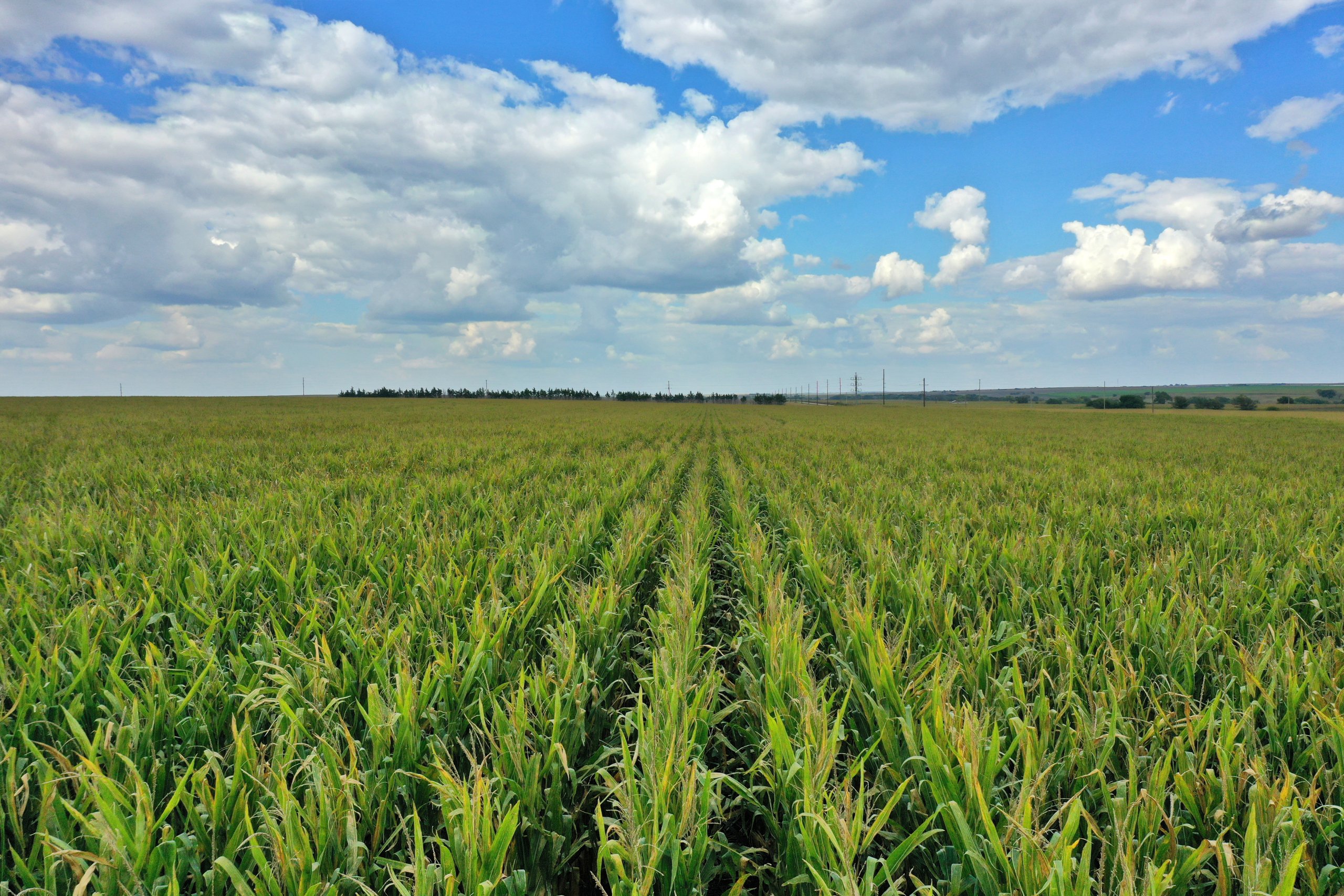
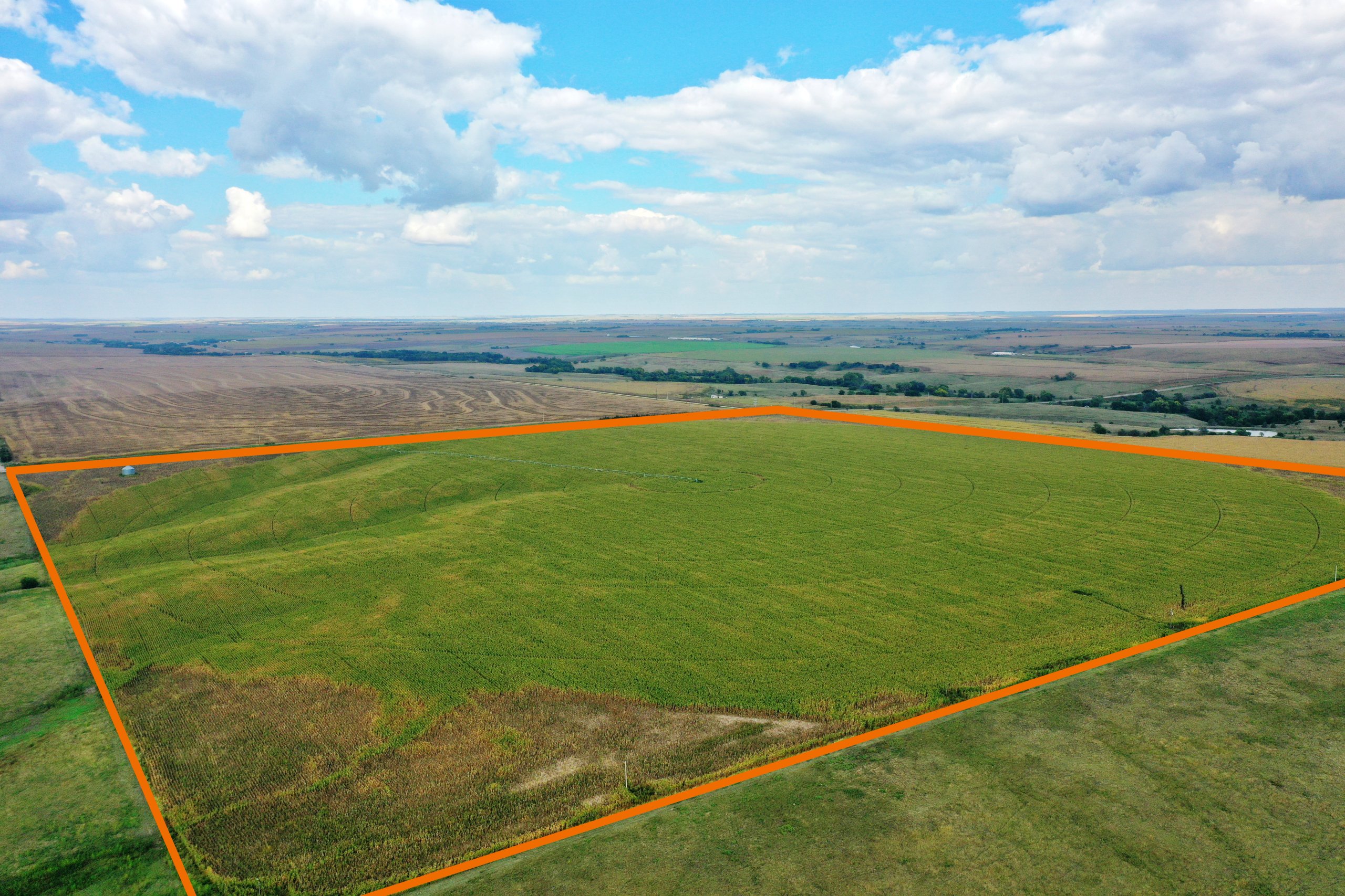
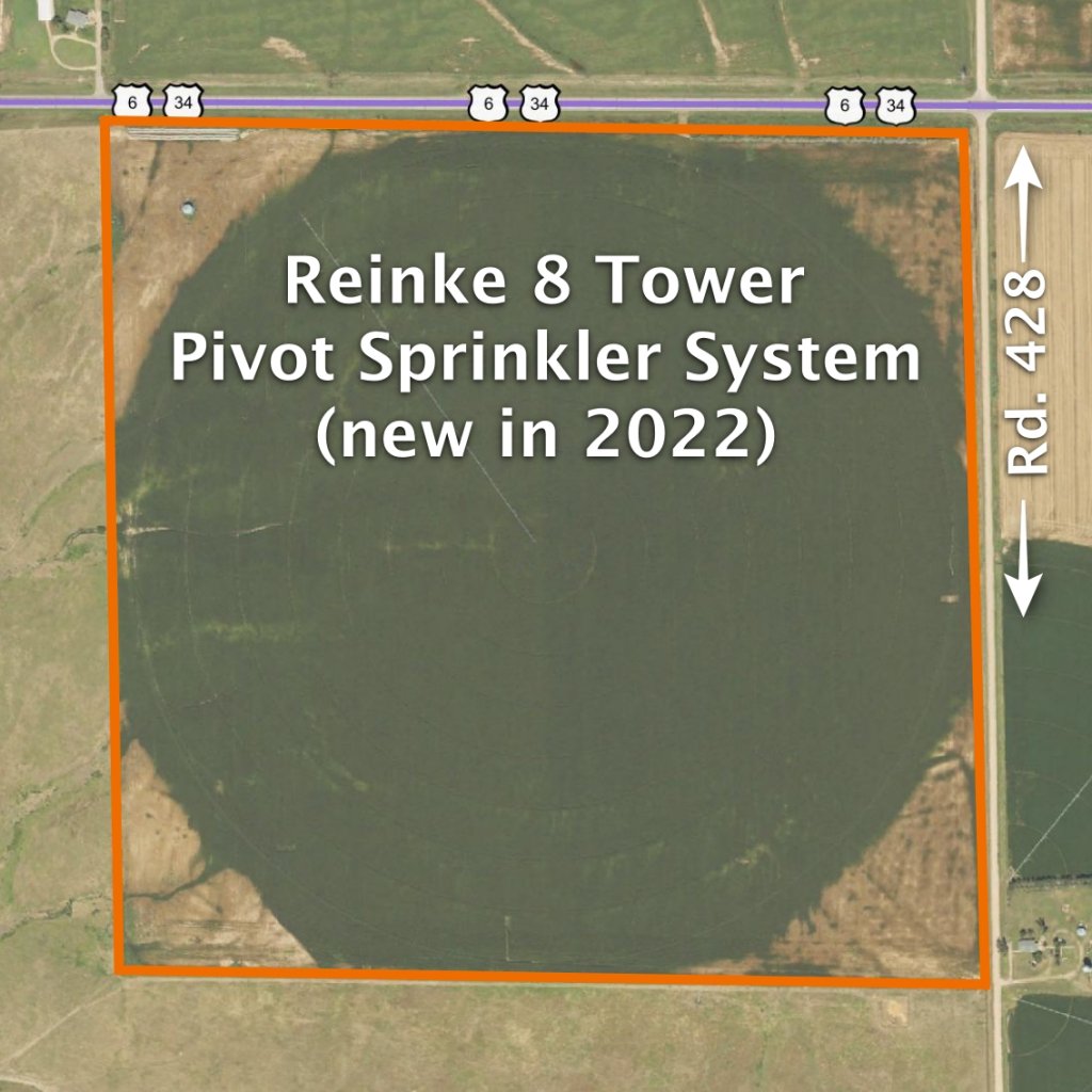
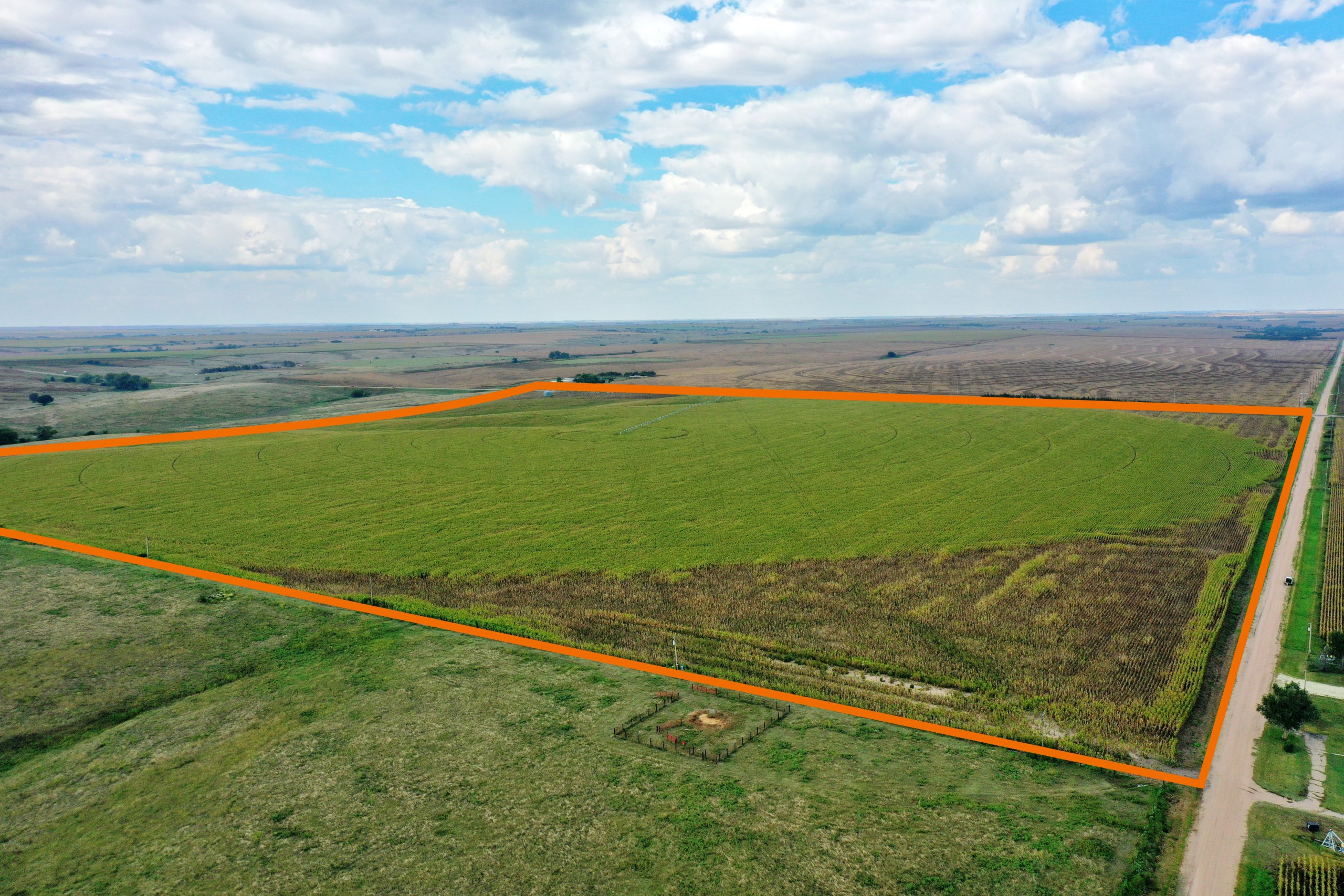
156 Acres, more or less, according to Furnas County Assessor’s records. Good quality pivot irrigated cropland with excellent access along Highway 6 & 34. Includes a Reinke 8 tower pivot sprinkler system – new in 2022. Currently irrigated by the Frenchman Cambridge Canal with 123.4 acres of surface water rights; the 2025 allocation was 9 inches. Irrigation equipment included with consists of a diesel power unit, diesel fuel tank, gearhead, and all underground pipe to the farm. The property also features an irrigation well and a livestock well. Over 70% of the soils are Holdrege Silt Loam.
Well Data:
(per registration) Irrigation Well: G-119306, December 2002, 124ft. deep, 96ft. static water level, 110ft. pumping level, 400 GPM. Livestock Well: G-168093, July 2013, 140ft. deep, 102ft. static water level, 105ft. pumping level, 20 GPM
Soil Types:
68.5% Holdrege silt loam rated as Class 2, 27.9% Coly-Uly silt loams rated as Class 4 & 6, 3.6% Holdrege silt loam rated as Class 3
2024 Taxes:
$ 4,434.54
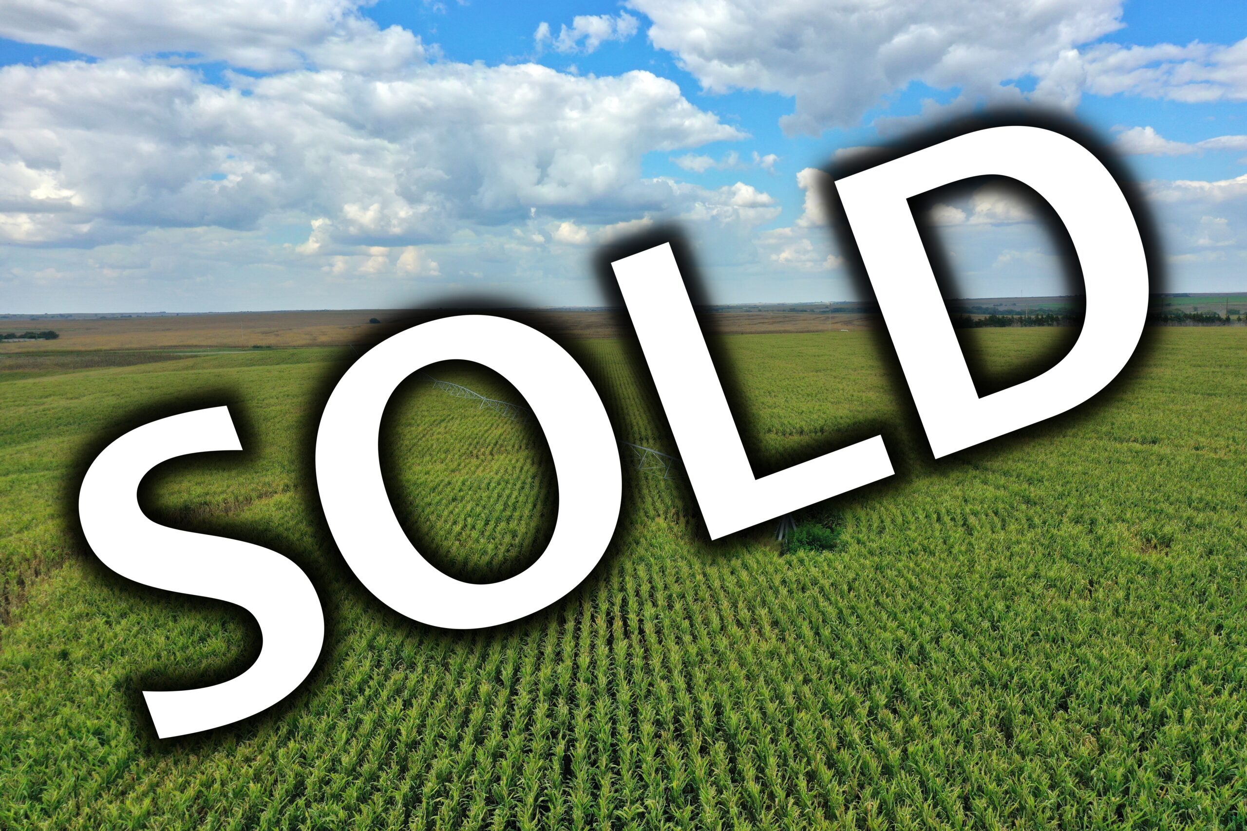
Price: $ 1,388,400
NEW PRICE:
$1,275,000
10% Earnest money payment on signing of purchase contract, remainder at closing. Full possession for 2026 crop season.