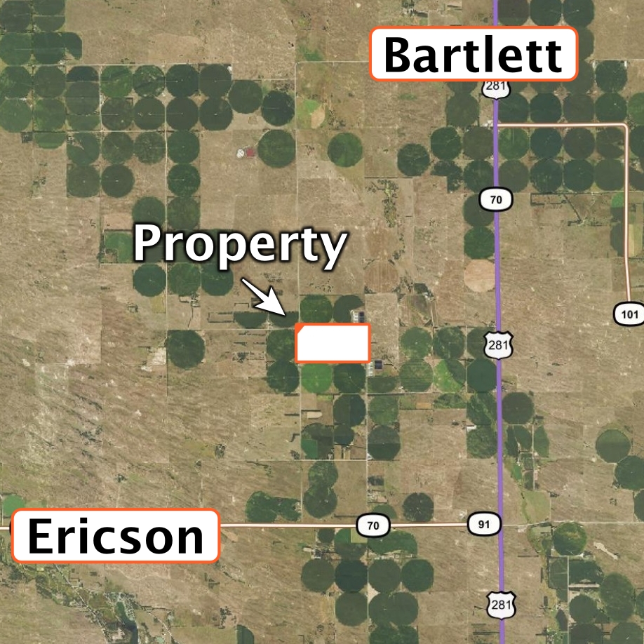
Land Location: From Bartlett, 5 miles south on US Highway 281, 2 miles west on 827th Rd. and 1/2 mile north on 495th Ave to the east side of the property. From Ericson, 3.5 miles east on Highway 70/91 and 2.5 miles north on 494th Ave. to southwest corner of the property.
Legal Description: The North Half of Section 4, Township 21 North, Range 11 West of the 6th P.M., Wheeler County, Nebraska, except the building site in the northwest corner.
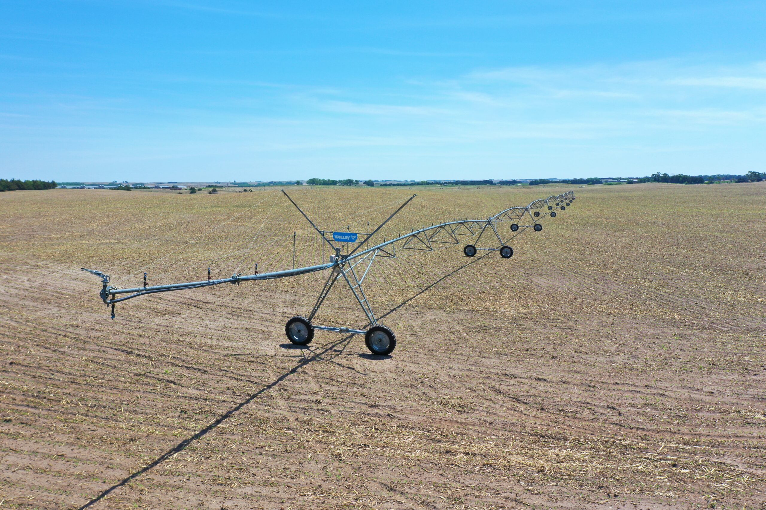
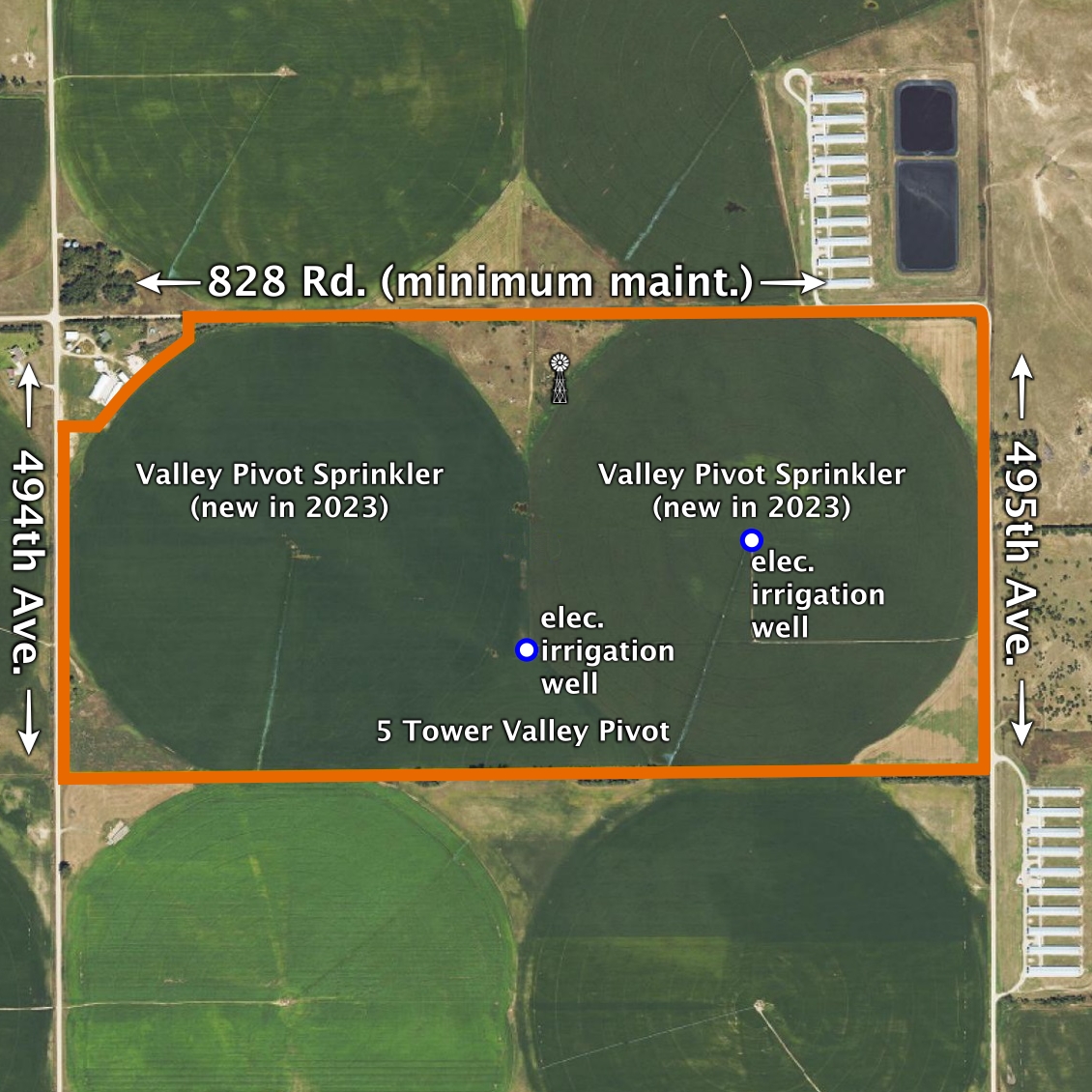
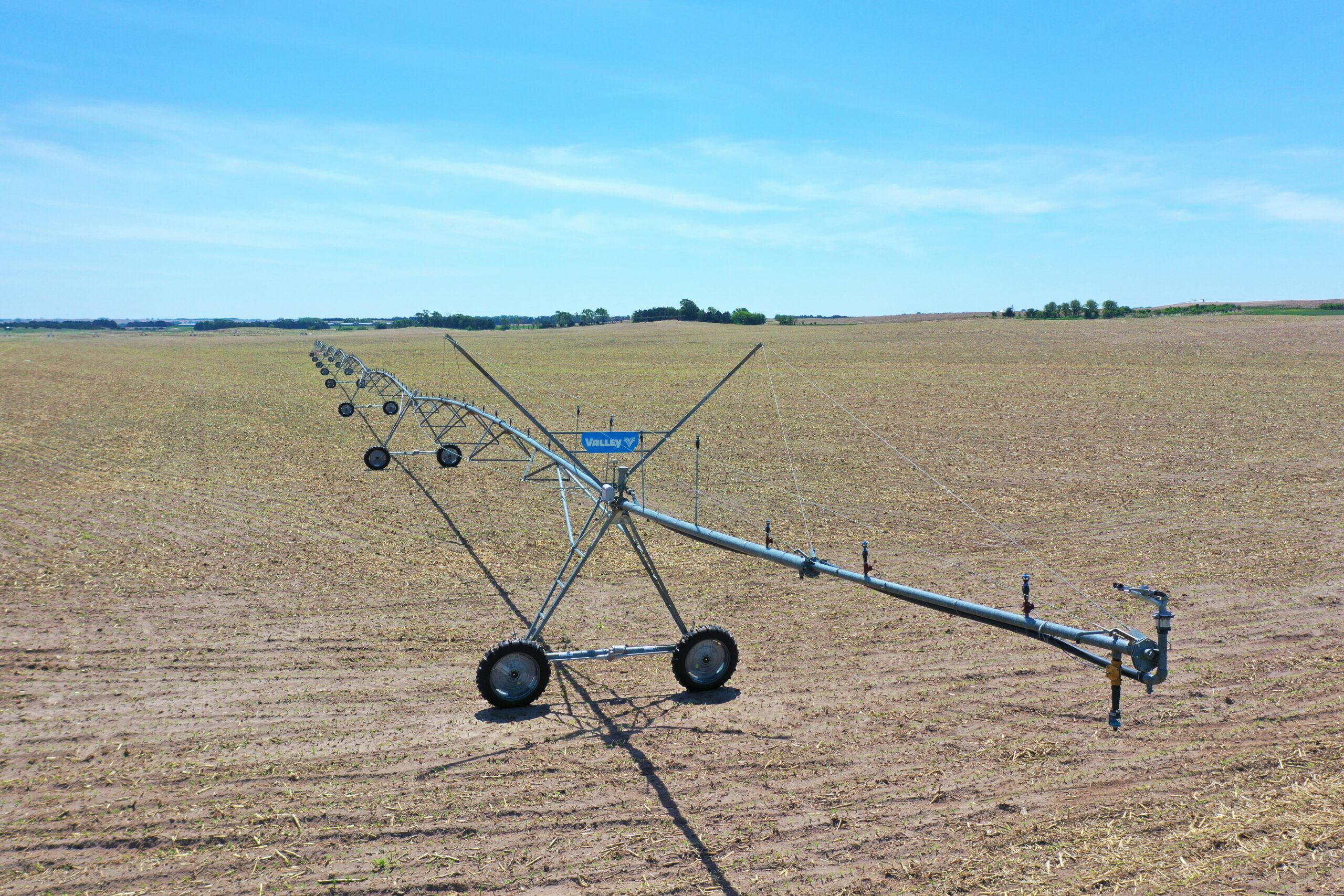
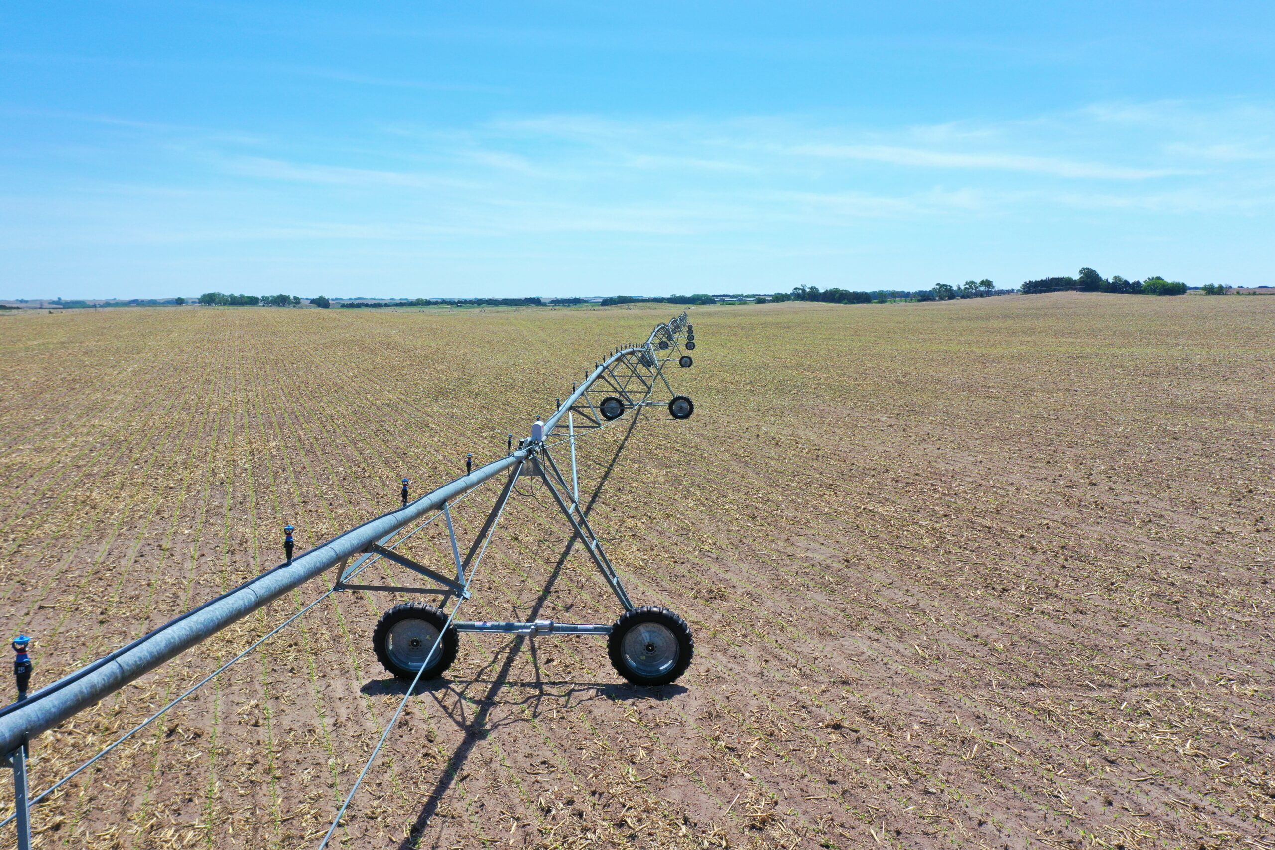
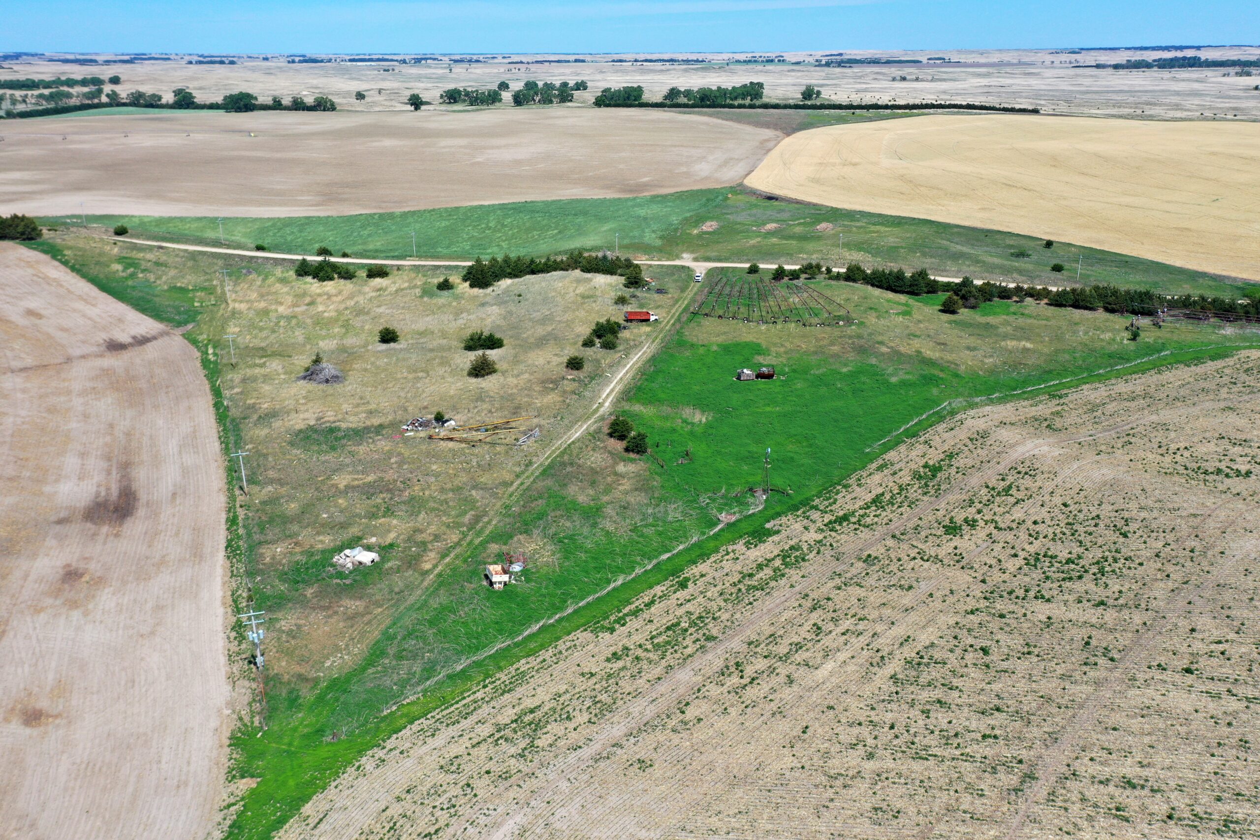
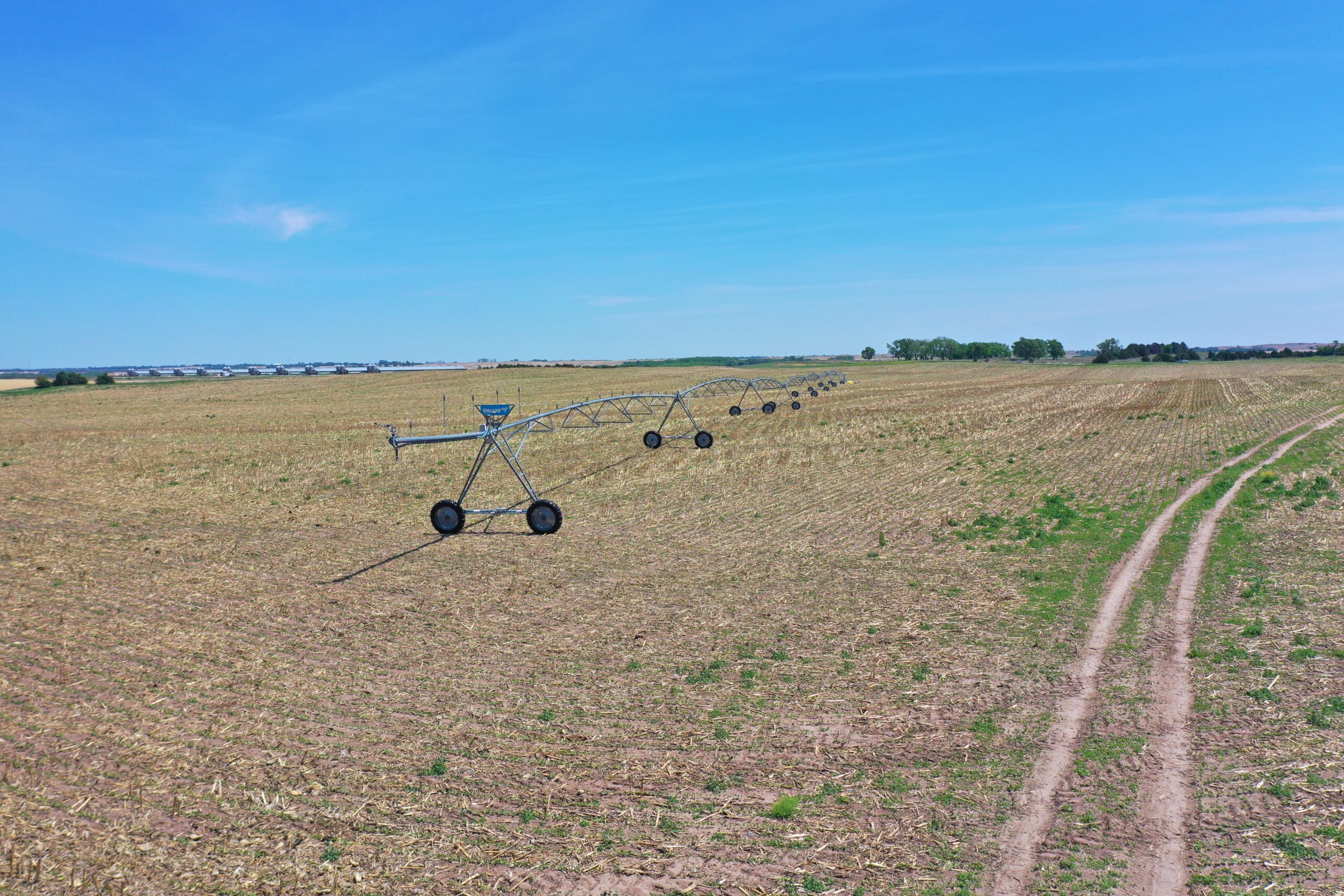
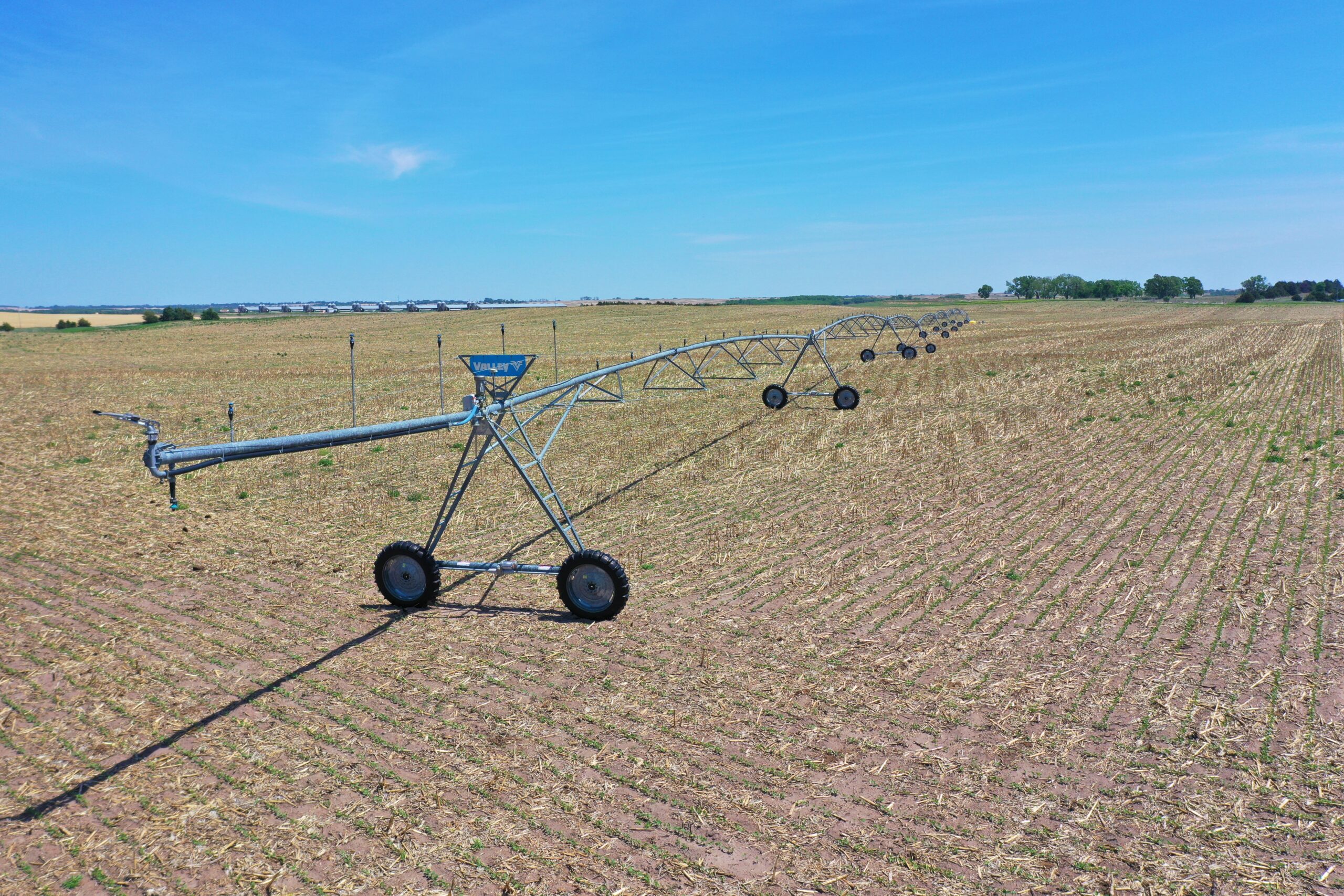
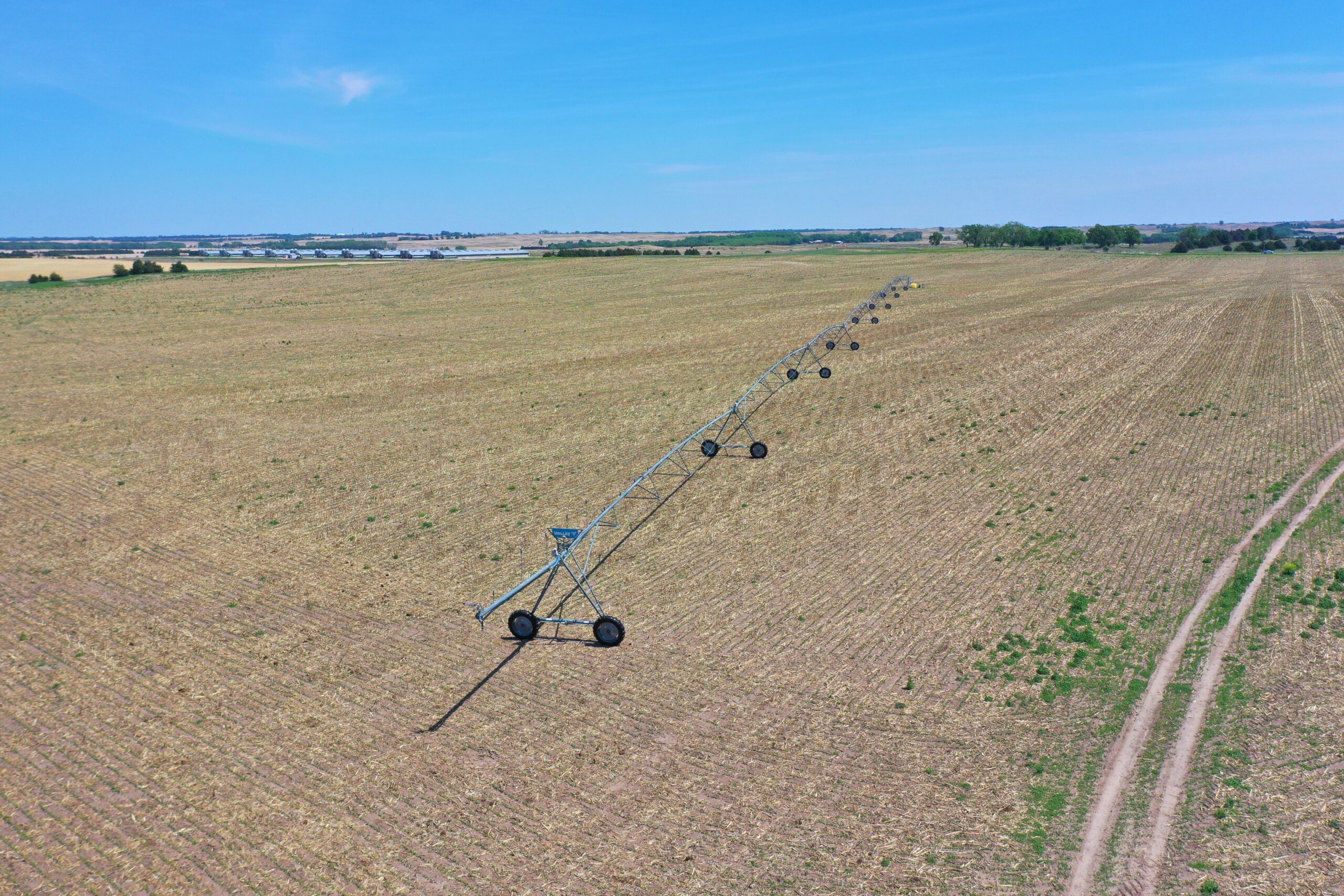
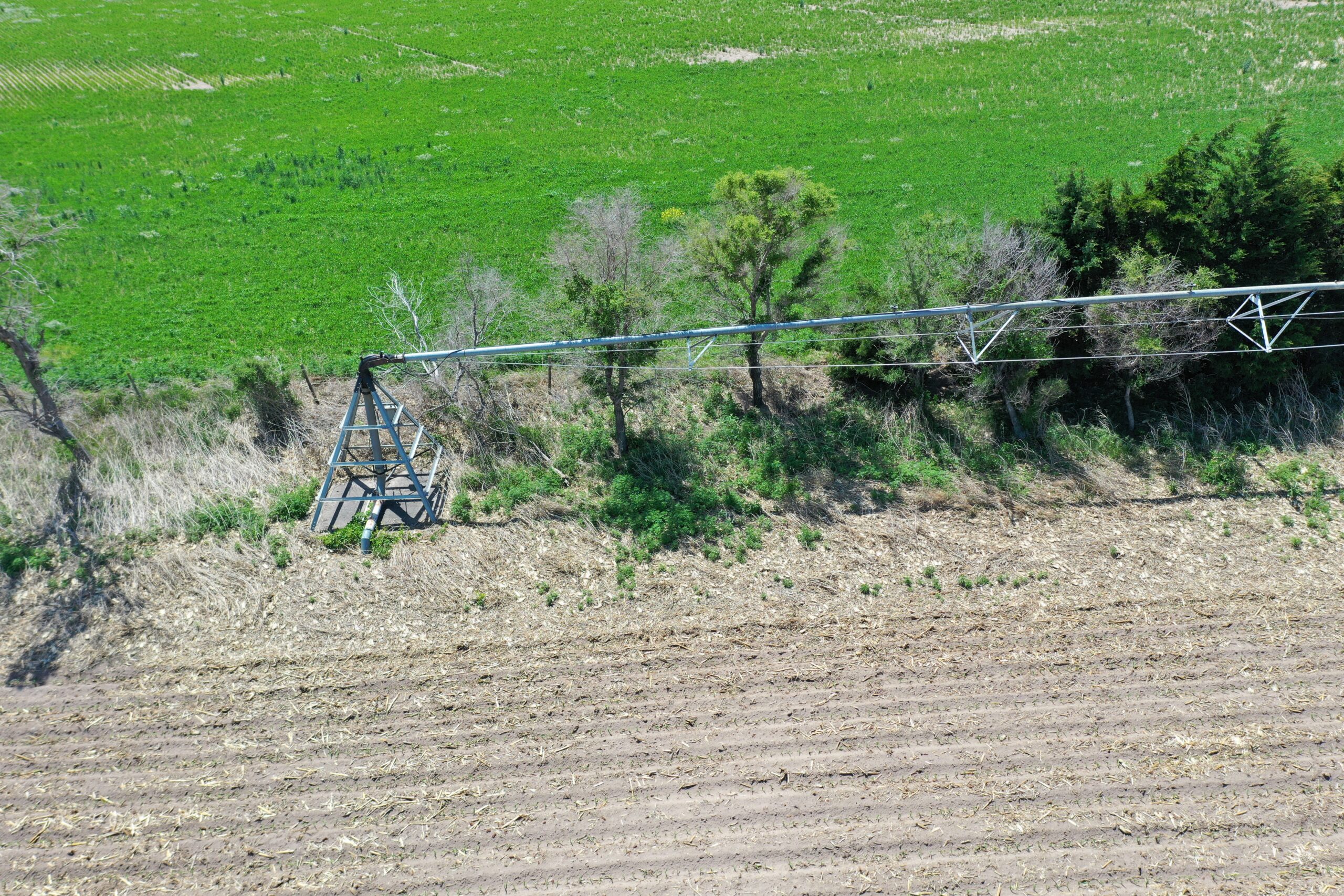
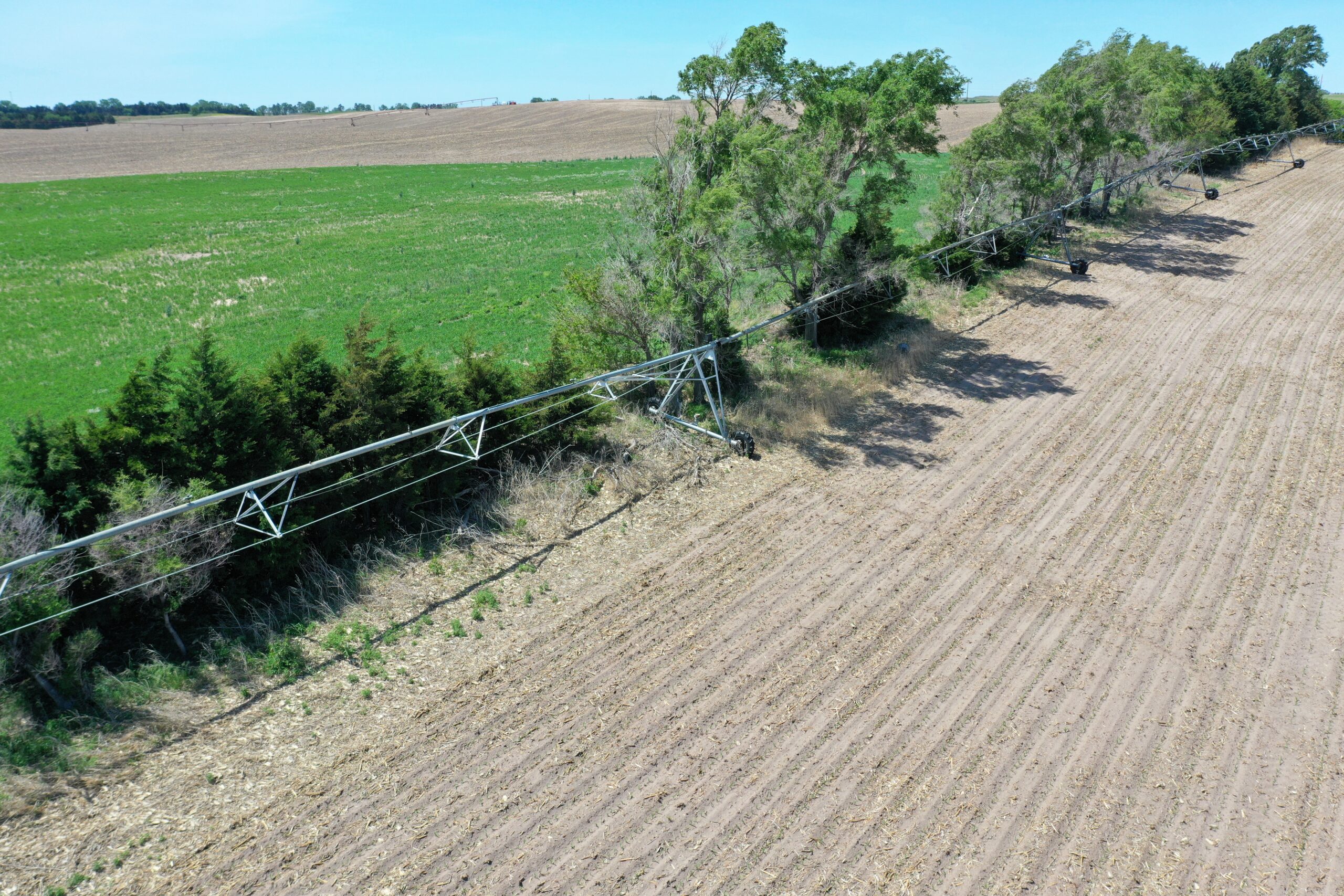
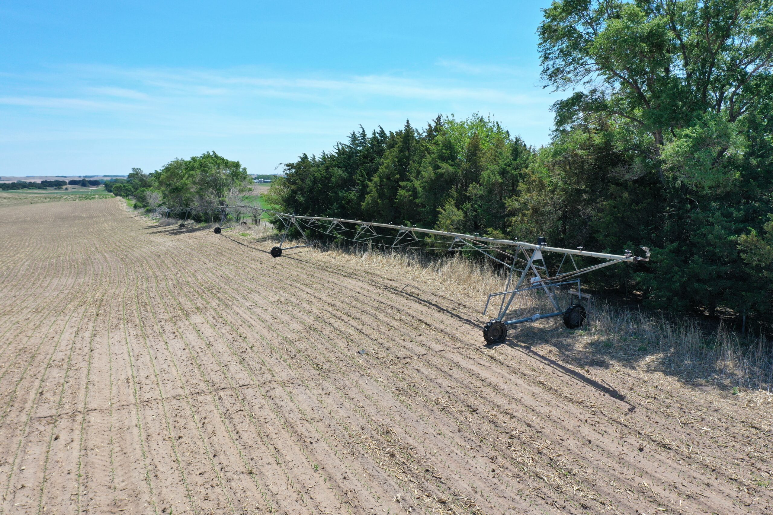
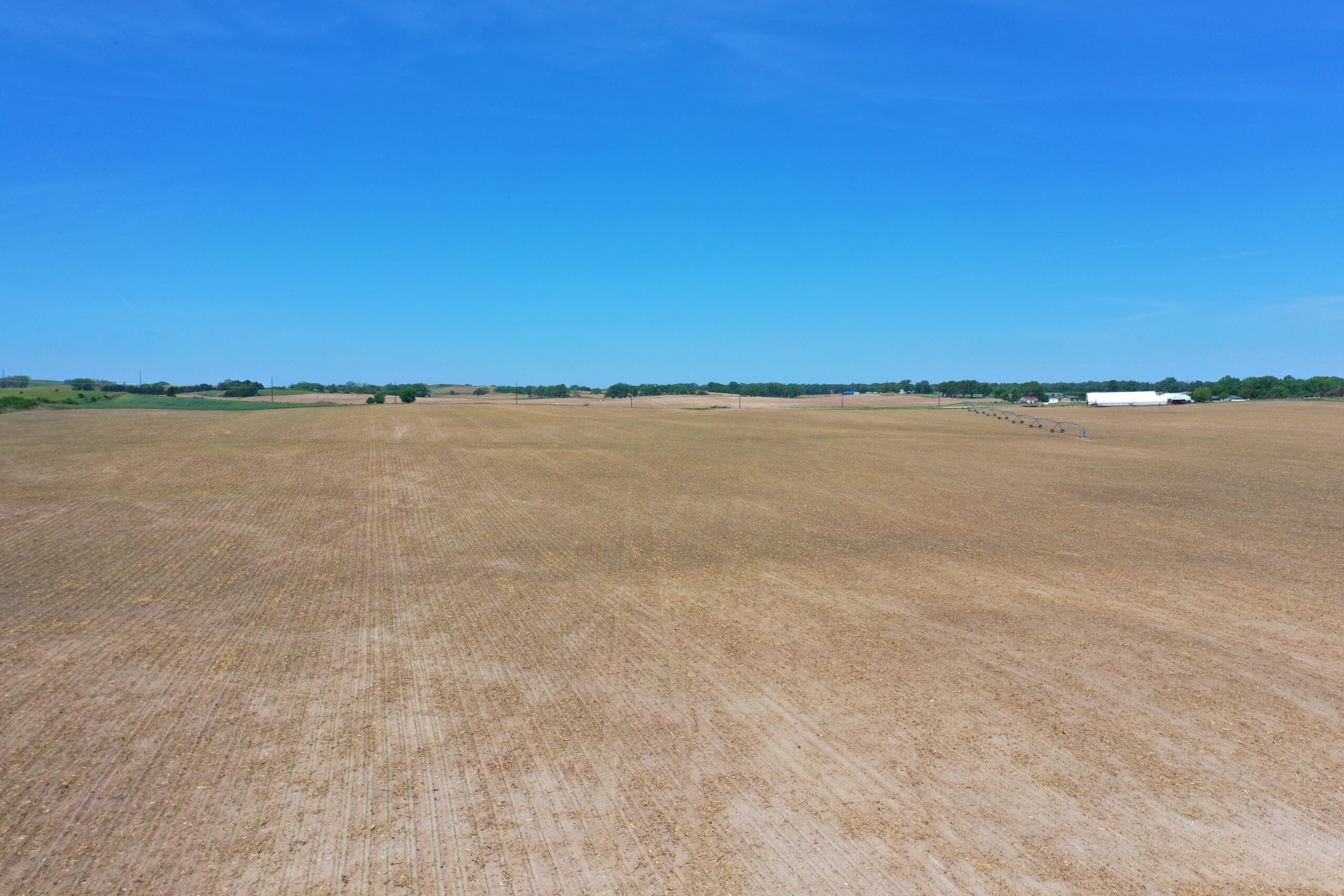
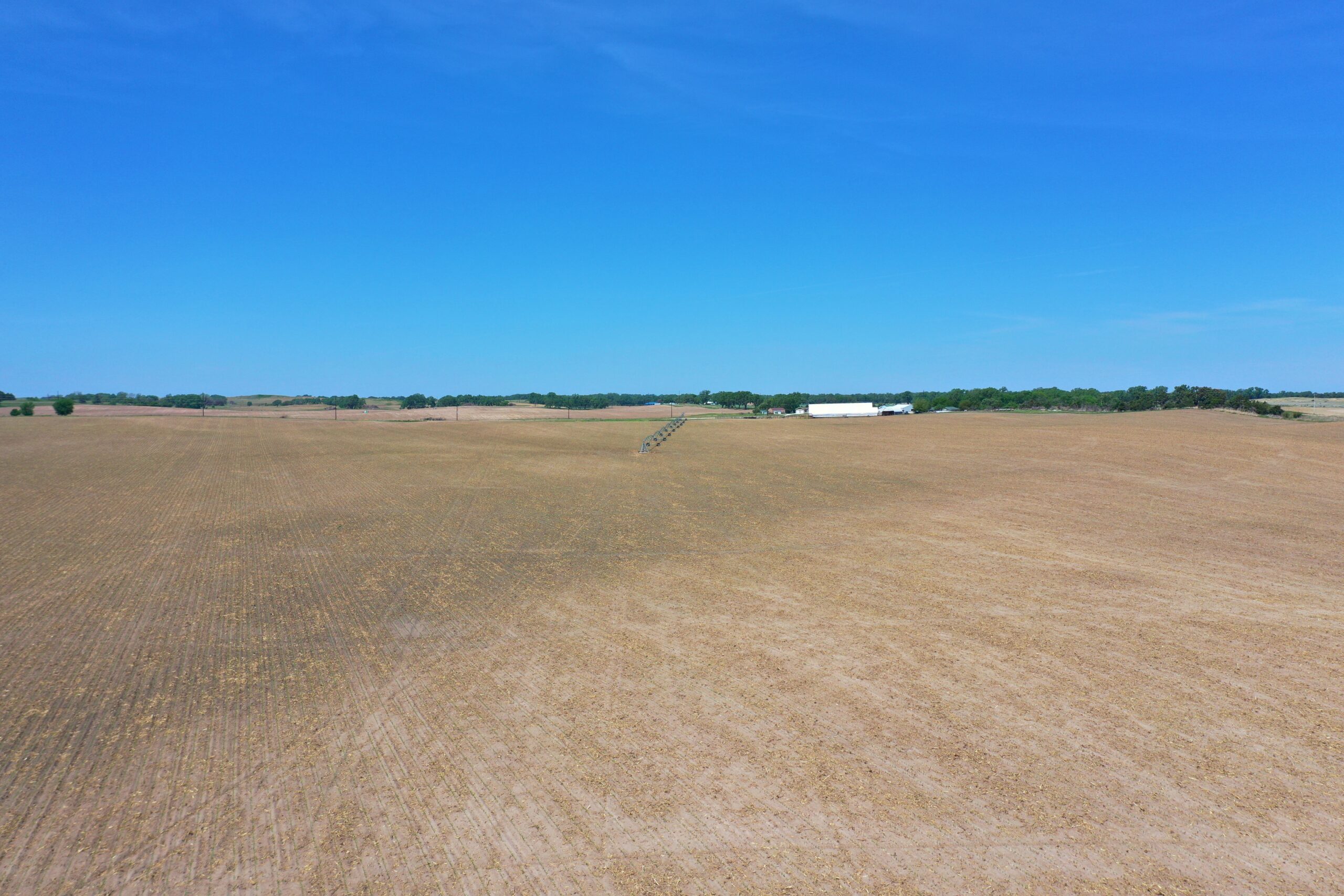
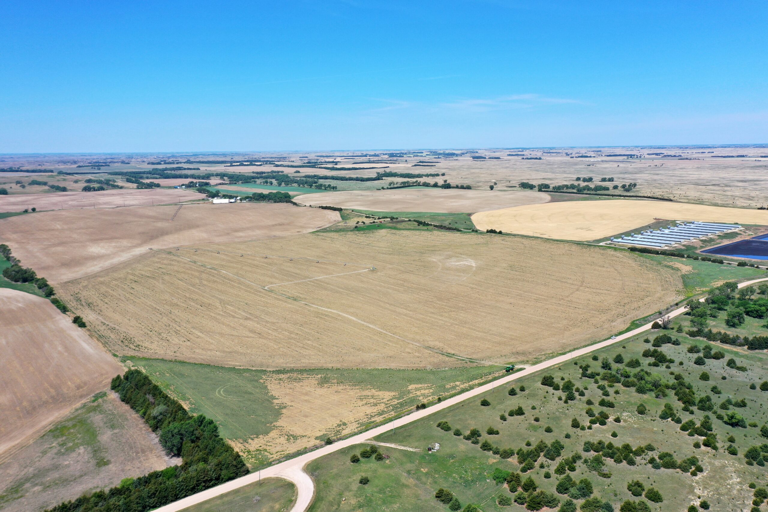
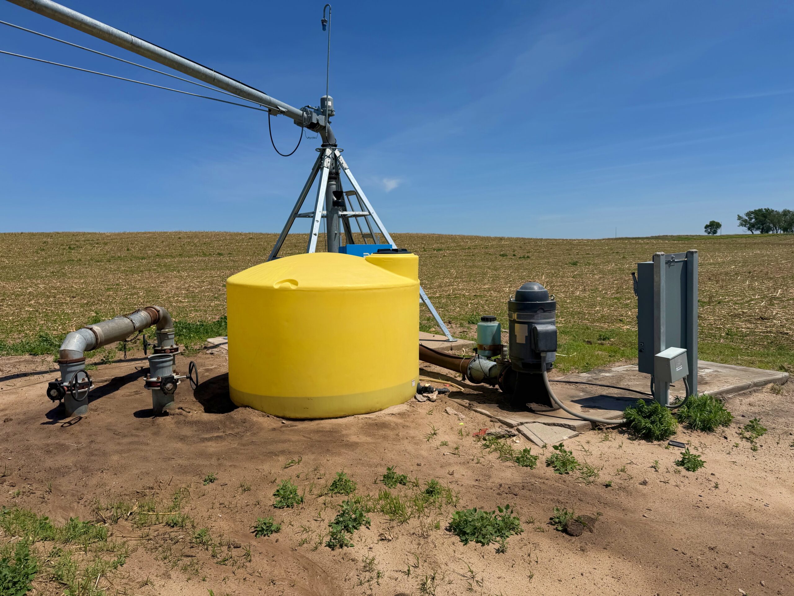
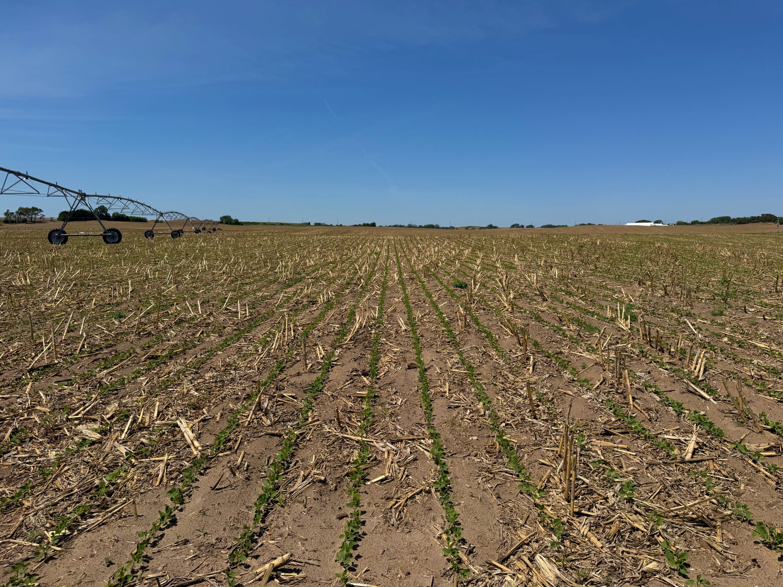
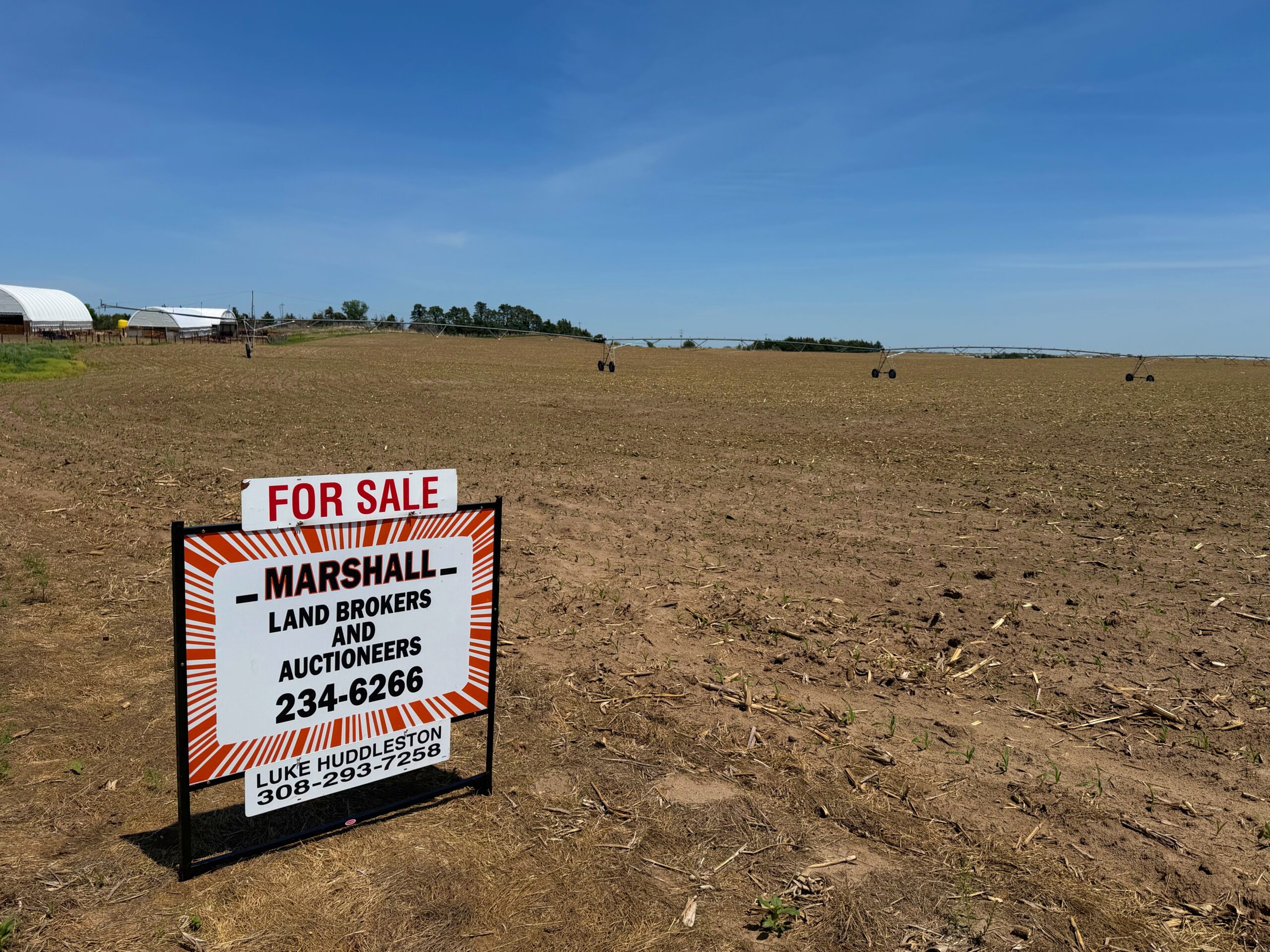
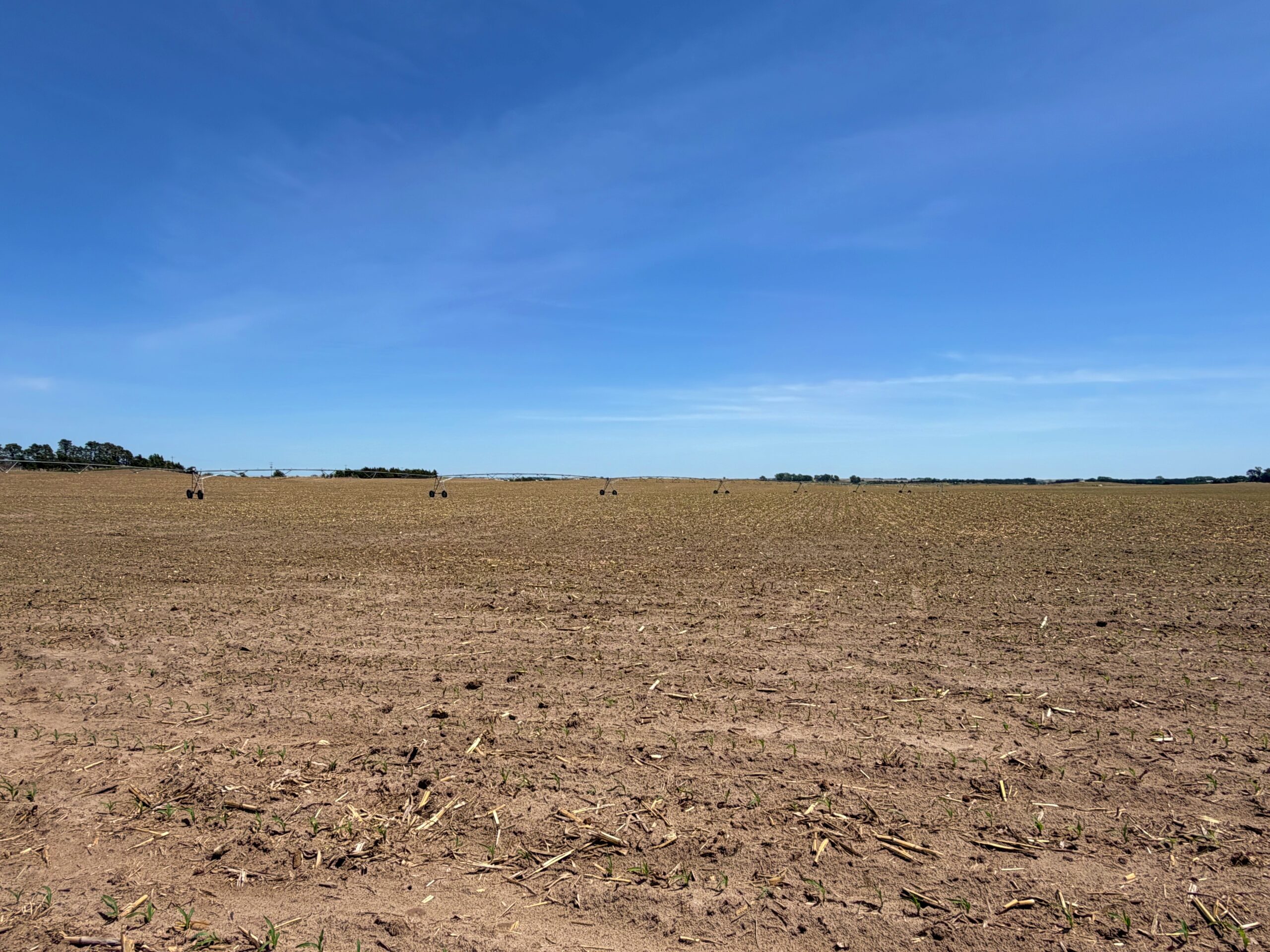
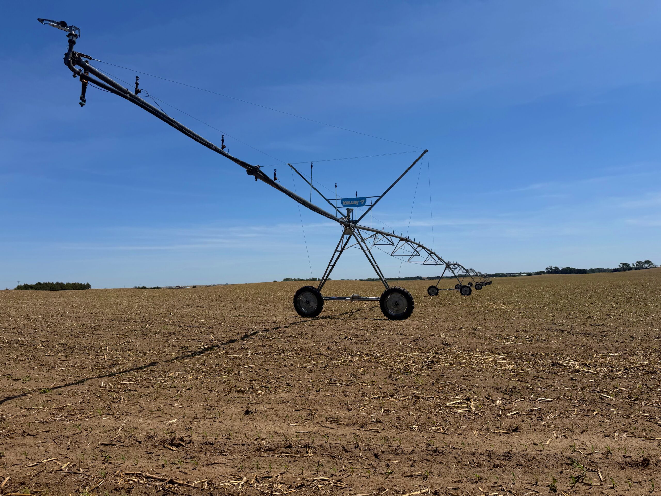
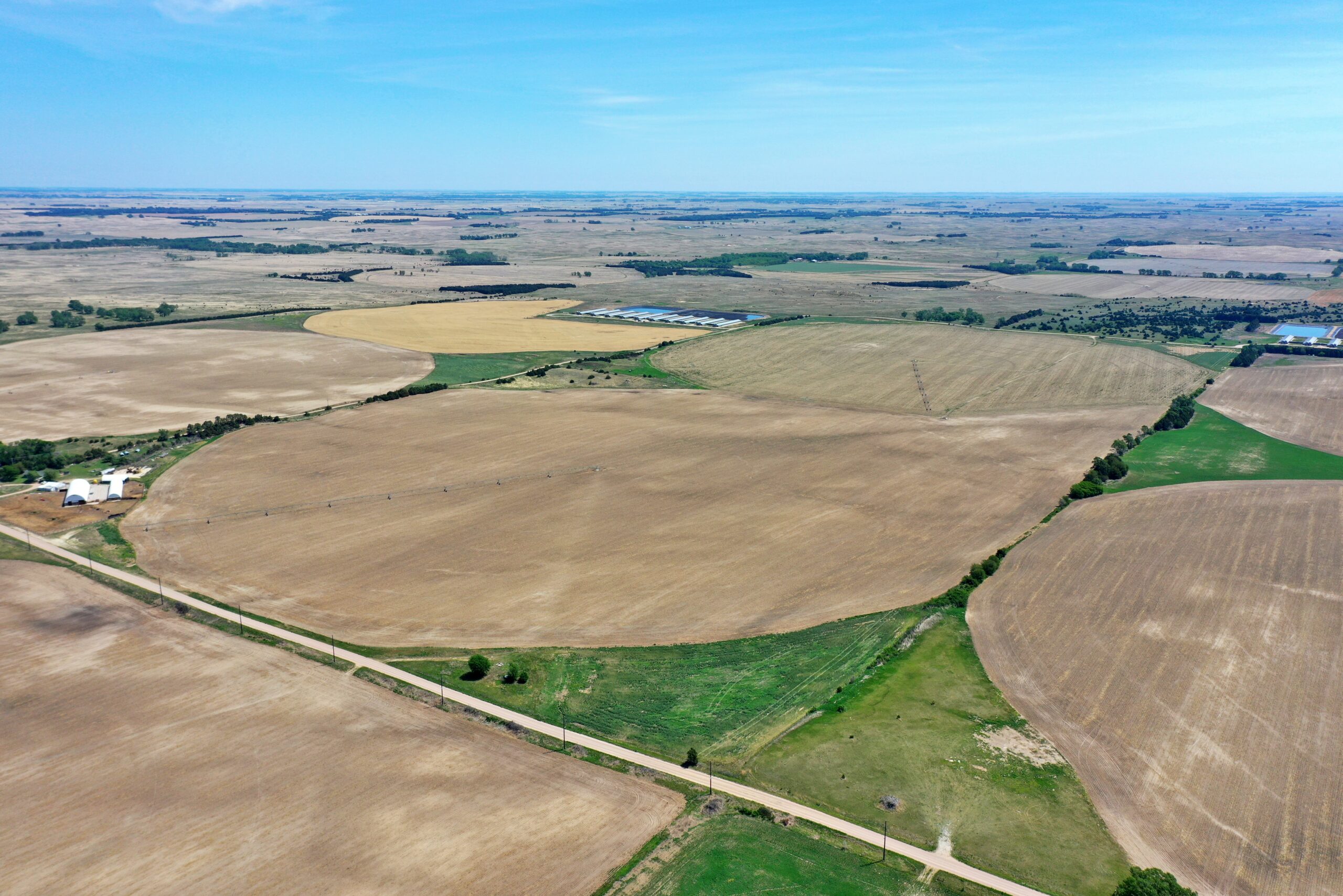
About the Land: 306.98 Acres, more or less, according to Wheeler County Assessor’s records. Pivot irrigated cropland with access via all-weather gravel roads on two sides. Includes (2) Valley 8-tower pivot systems (new in 2023) and a Valley 5-tower pivot system watering a double corner. Approx. 272 acres of pivot irrigated cropland, the remainder dryland and grass corners. The property includes two electric irrigation wells and a windmill. Additionally, the property is currently plumbed for effluence from an adjacent hog facility.
Farm Service Agency: Total cropland – 305.73 acres
Corn base – 106.51 acres, Soybeans base – 7.02 acres
Natural Resources District: Property is located in the Lower Loup NRD and has certified irrigation rights for 294.31 acres.
Well Data: (per registration) East Pivot Center: G-065885, 201ft. deep, 79ft. static water level, 95ft. pumping level, 800 GPM; Center Irrigation Well: G-030458, 205ft. deep, 68ft. static water level, 105ft. pumping level, 1,250 GPM
2025 Taxes: $9,351.06
Price: $2,532,585
10% Earnest money deposit upon signing purchase agreement. The remainder due at closing.
