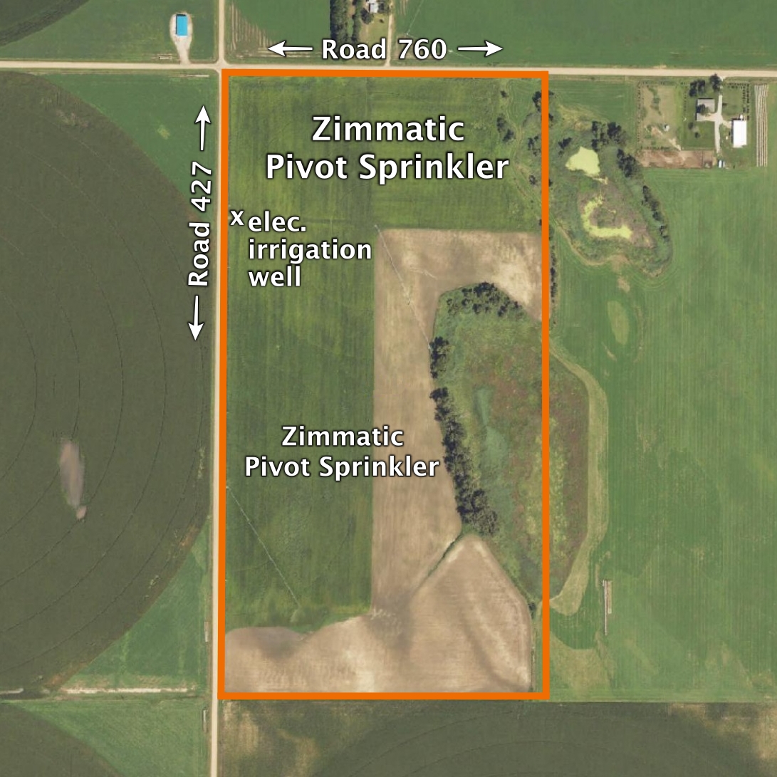
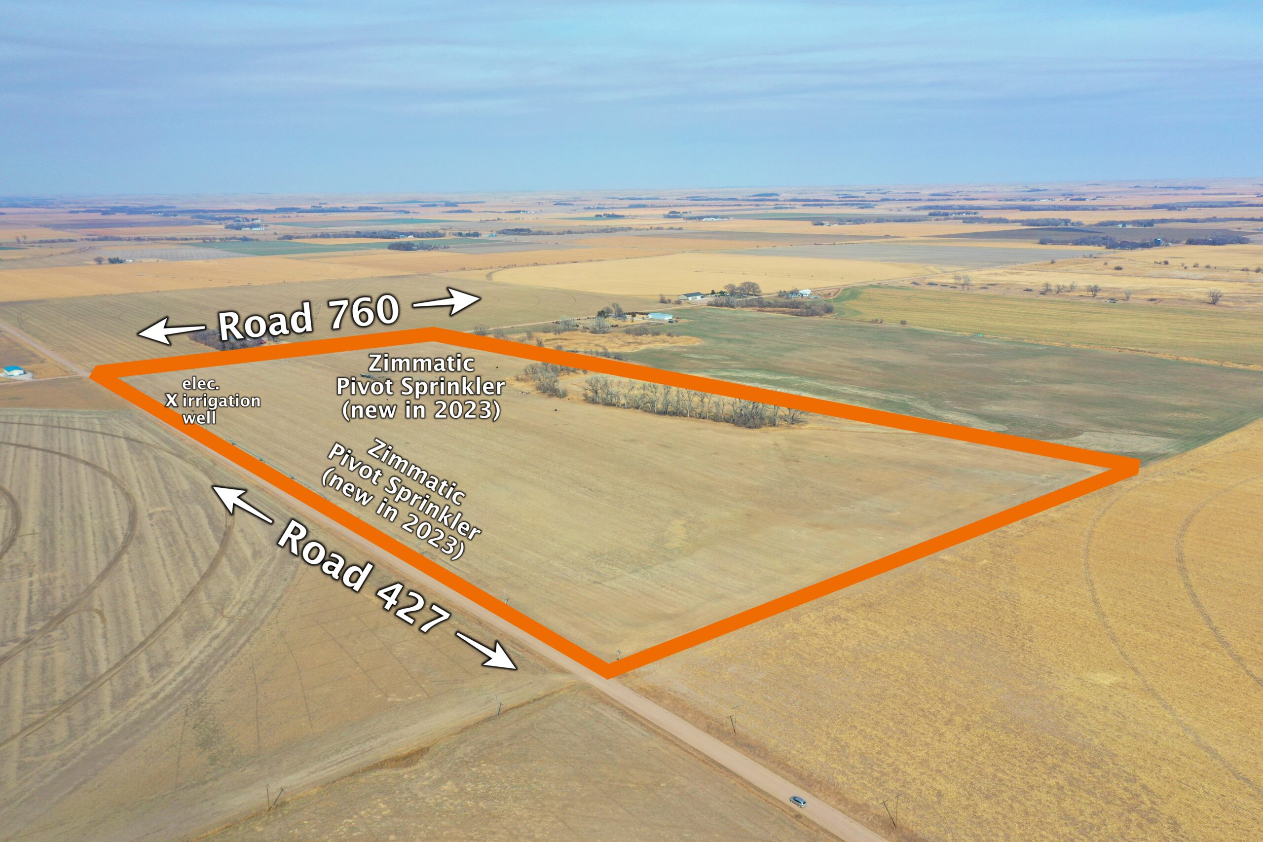
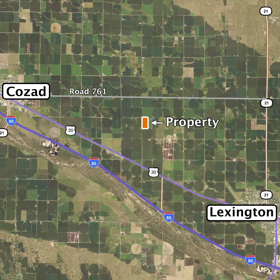
Land Location: From the west edge of Darr, 1.5 miles northwest on Hwy 30, then 1 and 3/4 miles north on Rd. 427. From Rd. 761 (blacktop) and Rd 427, 1 mile south on 427
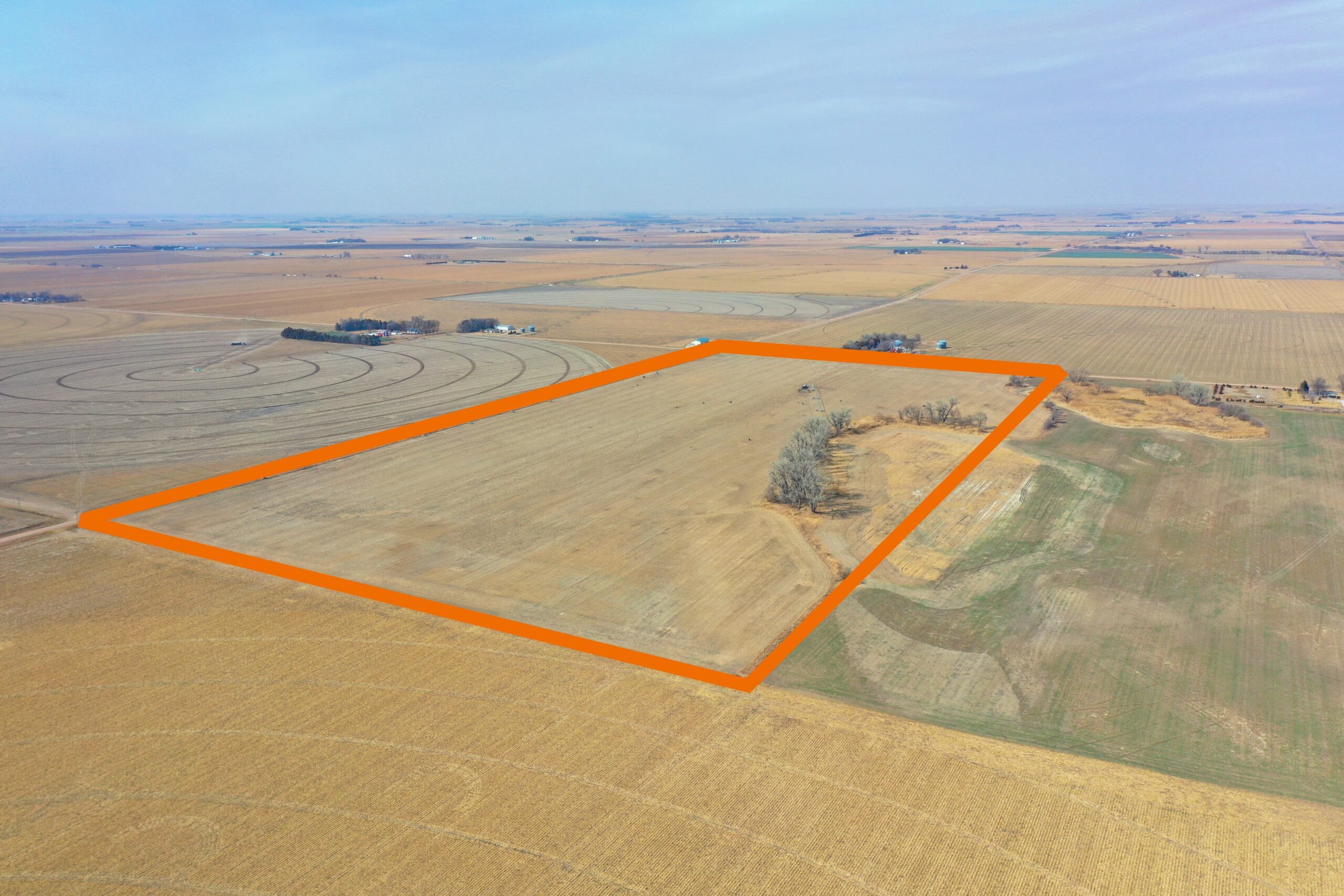
Legal Description: West Half of the Northwest Quarter of Section 17, Township 10 North, Range 22 West of the 6th P.M., Dawson County, Nebraska
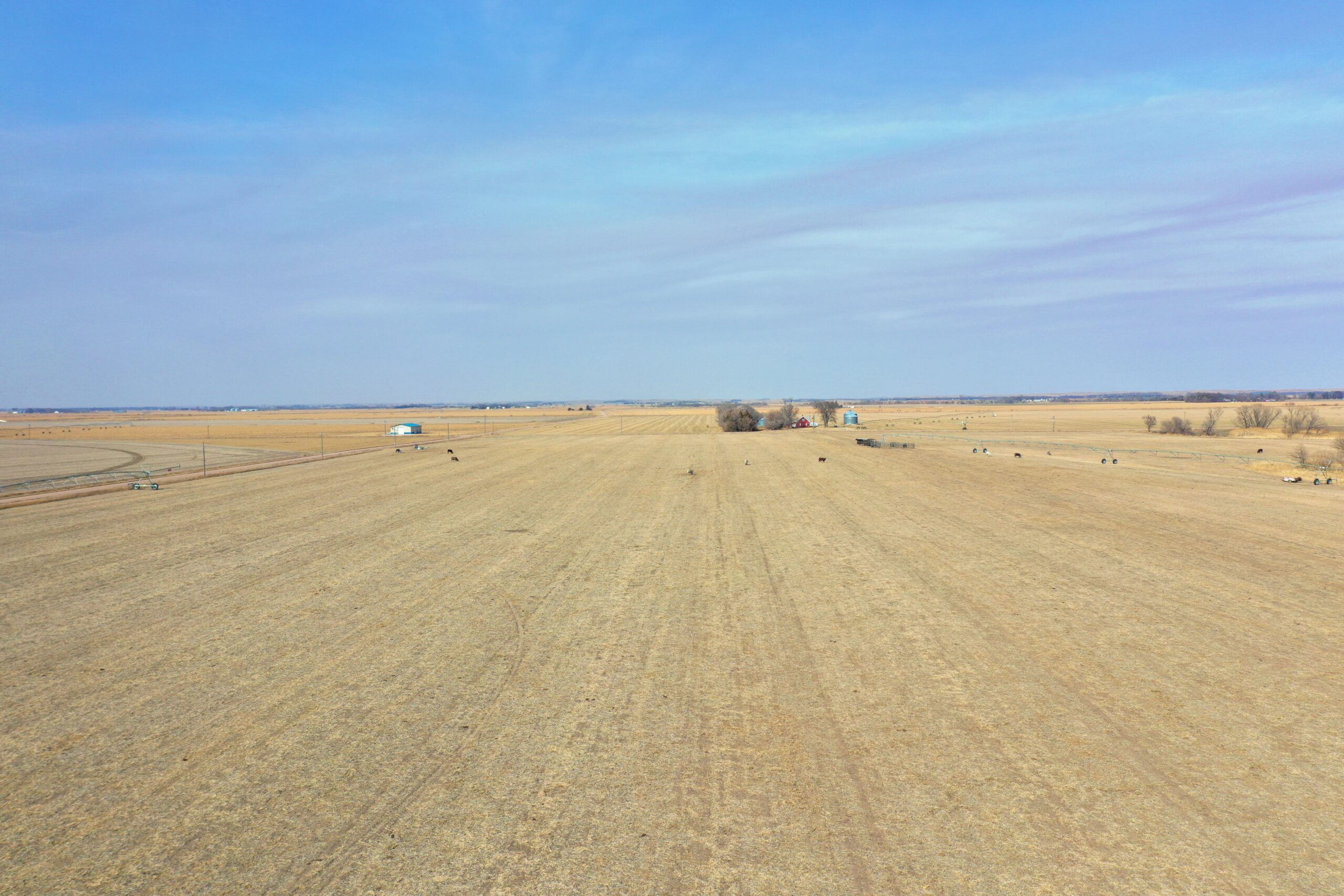
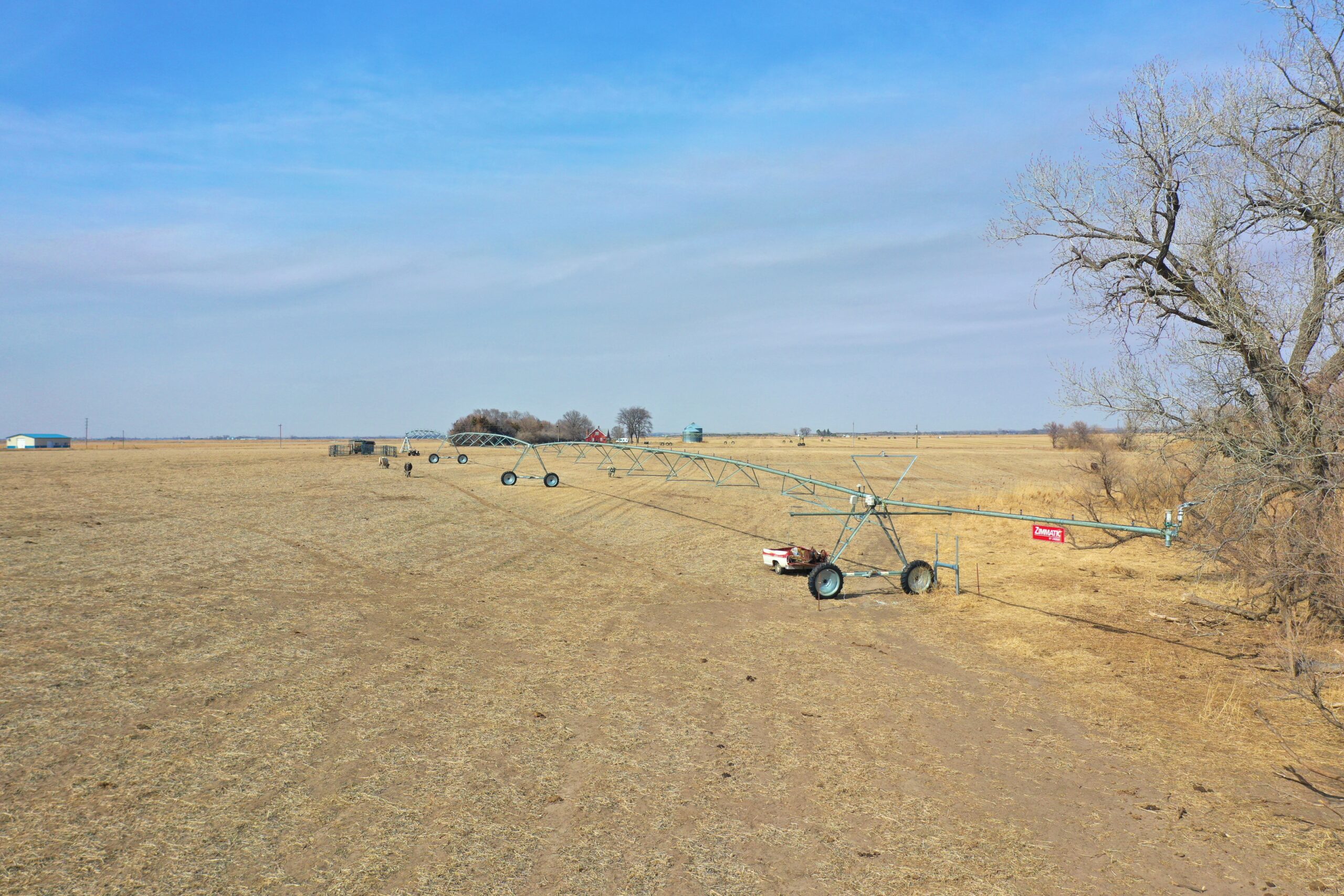
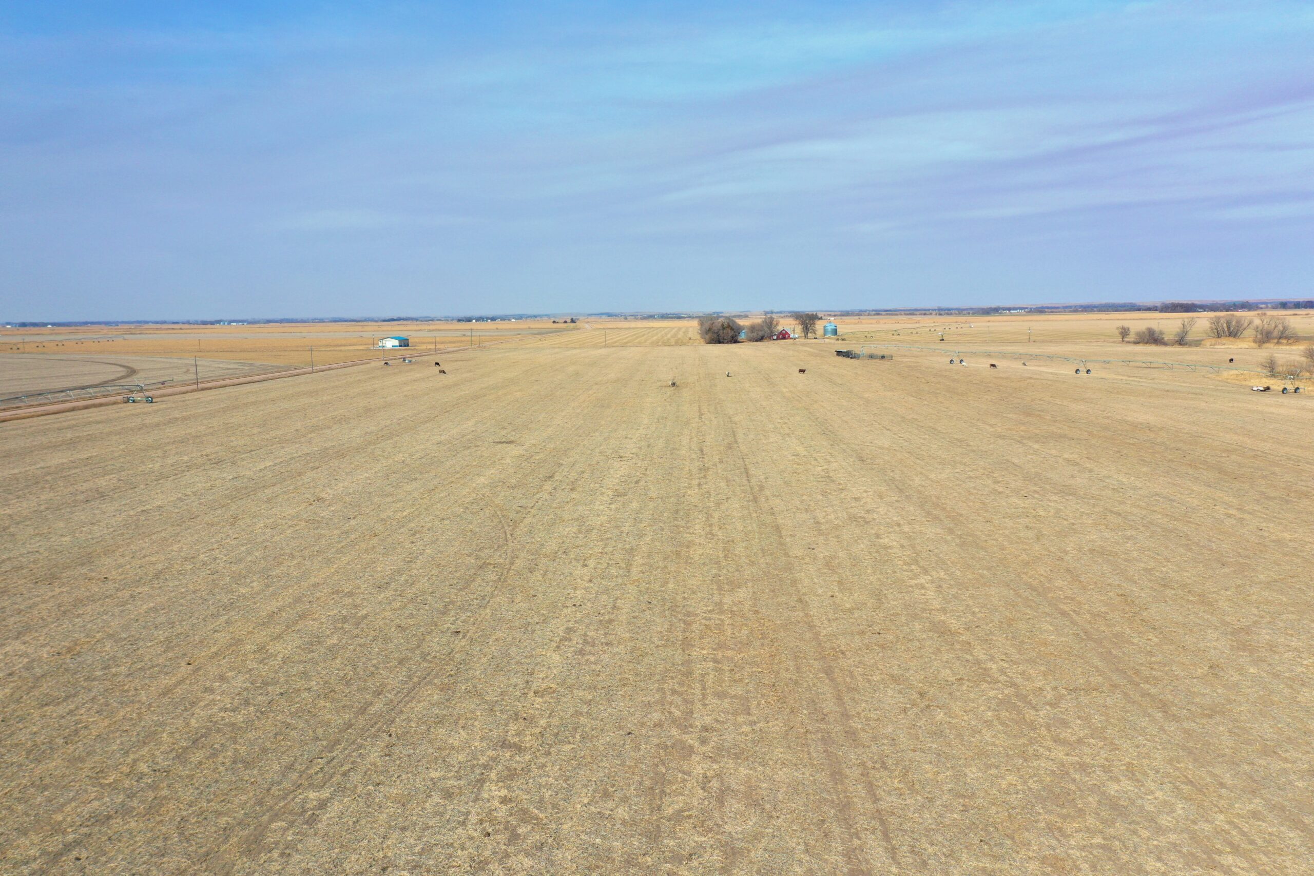
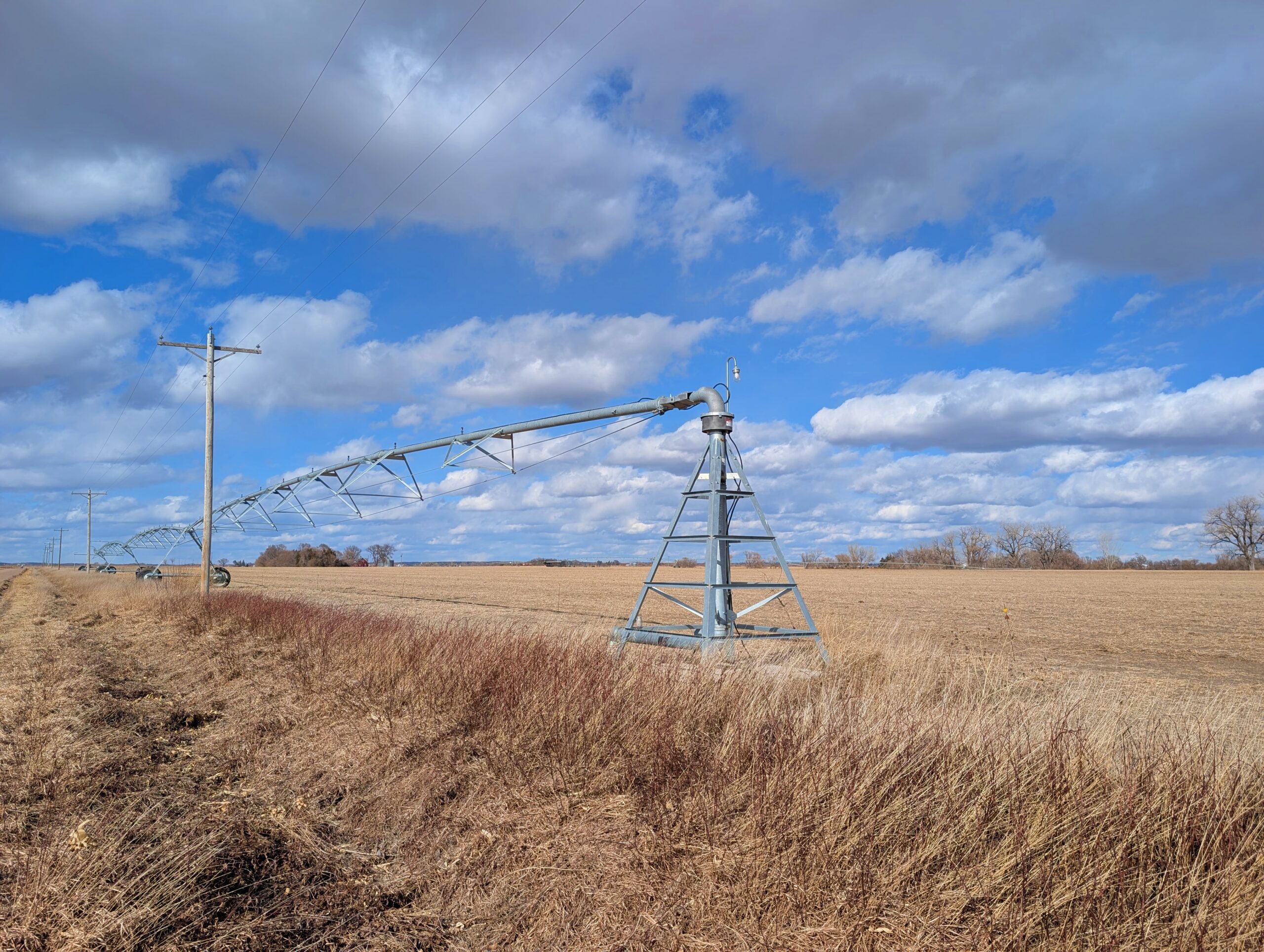
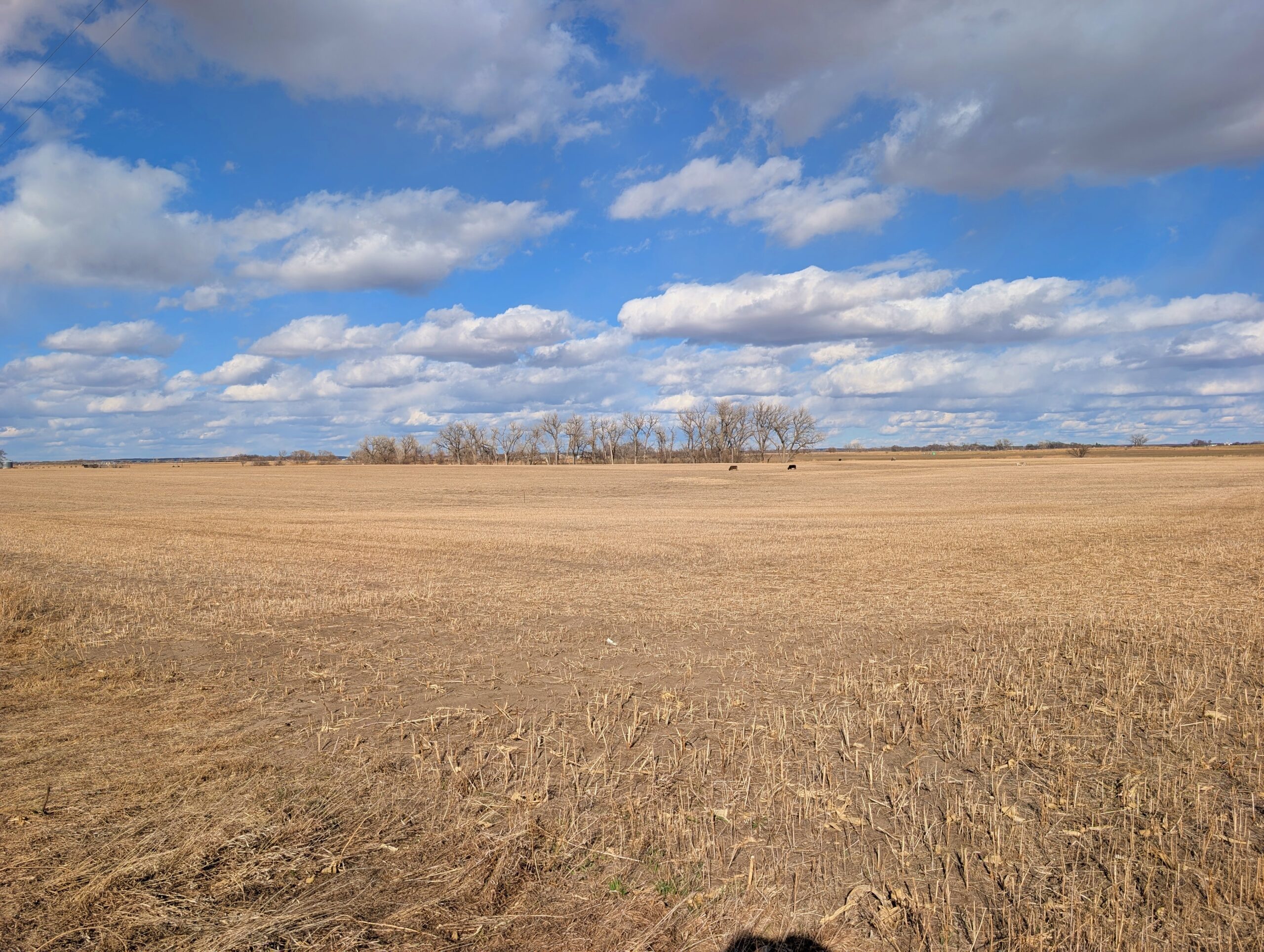
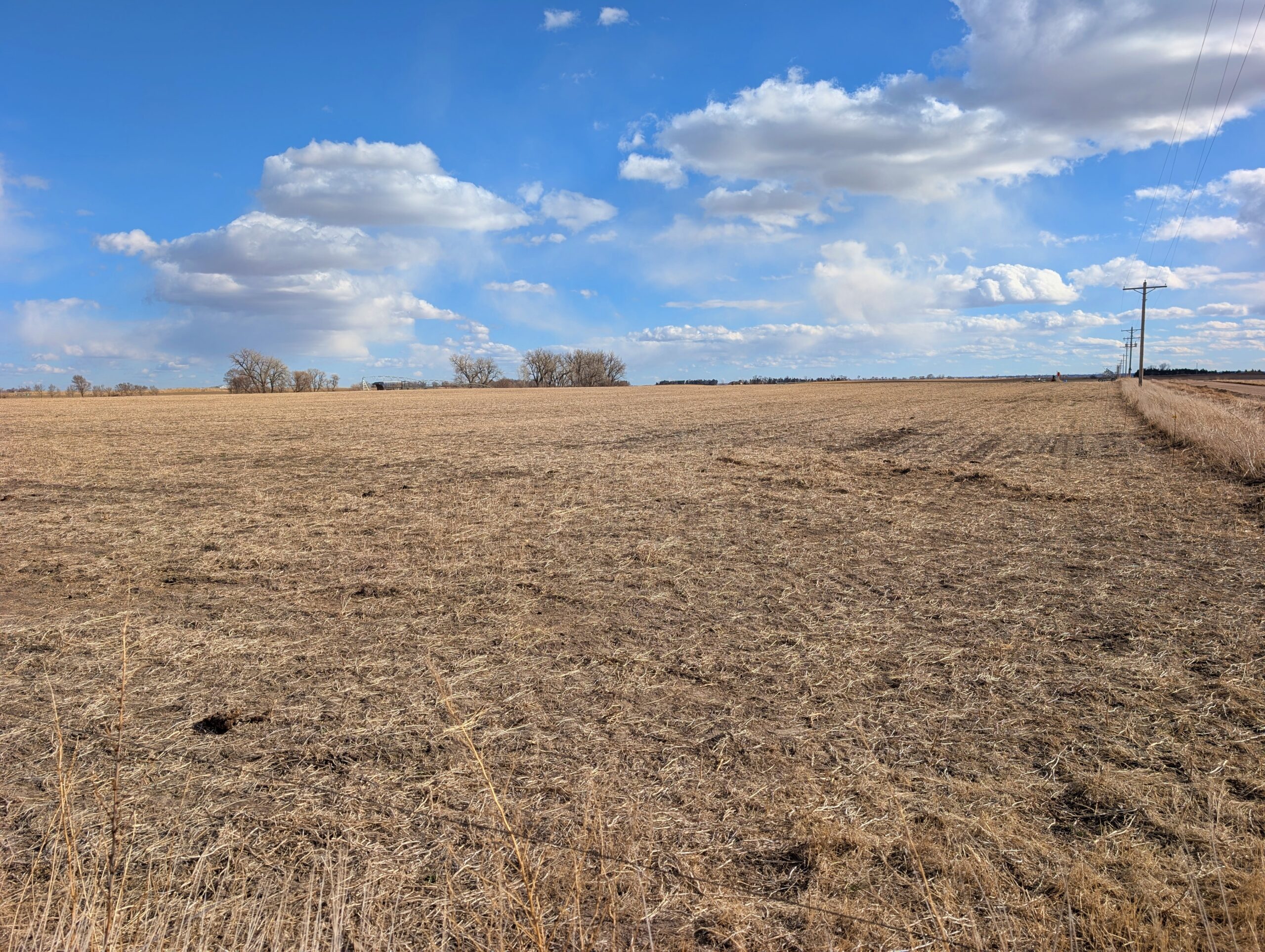
About the Land: 80.1 Acres, more or less, according to Dawson County Assessor’s records. Consisting of good quality pivot irrigated cropland and (2) three tower Zimmatic pivot sprinkler systems (both new in 2023), Remainder of the land includes non-irrigated cropland and treed area.
Farm Service Agency: Total cropland – 67.58 acres, Corn base – 66.1 acres with 160bu. PLC yield
Natural Resources District: The property is located in the Central Platte NRD and has certified irrigation rights for approx. 42.61 acres
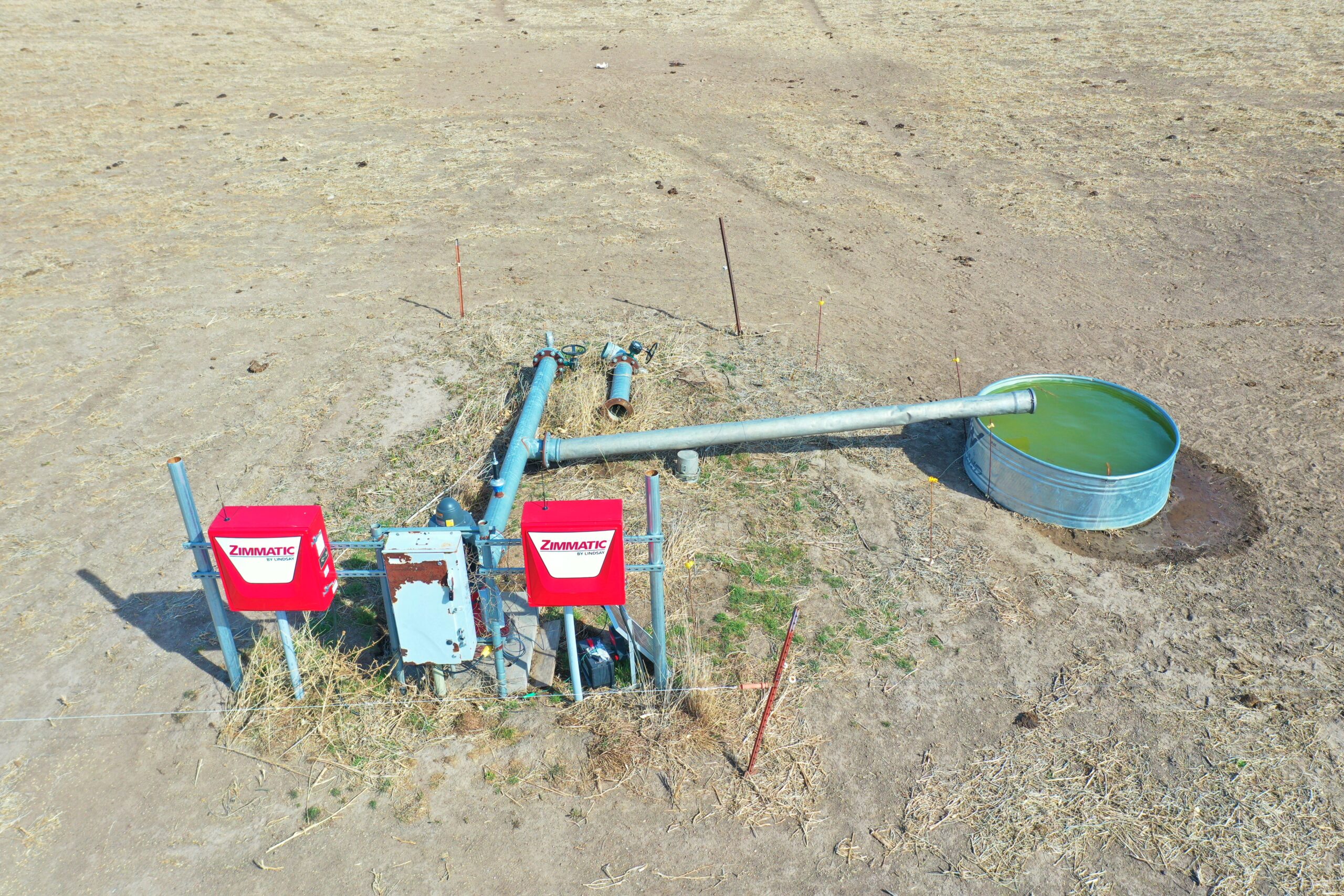
Well Data: (per registration) G-007777, May 2009, 230ft. deep, 15ft. static water level, 32ft. pumping level, 8” pump column, 1000 GPM
Soil Types: 87% Cozad and Hord silt loams rated as Class 1 & 2, the remainder Filmore silt loam and Anselmo and Valentine sandy loams
2025 Taxes: $ 3,028.76
Price: $ 650,000
10% Earnest money payment on signing of purchase contract, remainder at closing.